
Home / Image credits
Image credits
Every photo on this site is a real, licensed photo. They are listed page by page: who took each one, its licence, where it comes from and what we changed. A photo used on more than one page is listed under each of them.
One exception: the small cover photos of places to eat and drink and of attractions are not ours and are not on this list. They load straight from Google Maps, each marked "Photo: Google Maps" and linked to that place's Google Maps listing.
Home
-
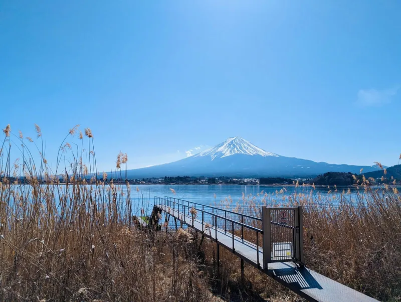
Small jetty through dry reeds into Lake Kawaguchi, Mt Fuji under a clear blue sky
Licence: Pexels License · Original photo
Changes: Resized and converted to WebP.
-
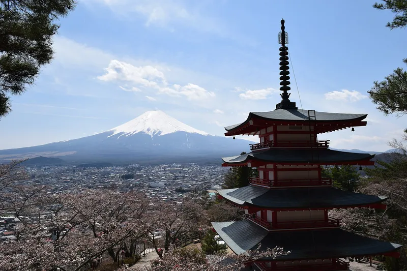
Chureito Pagoda with snow-capped Mt Fuji and Fujiyoshida town behind, cherry trees in bloom
Licence: CC BY-SA 3.0 · Original photo
Changes: Resized and converted to WebP. Our changed version is shared under the same licence.
-
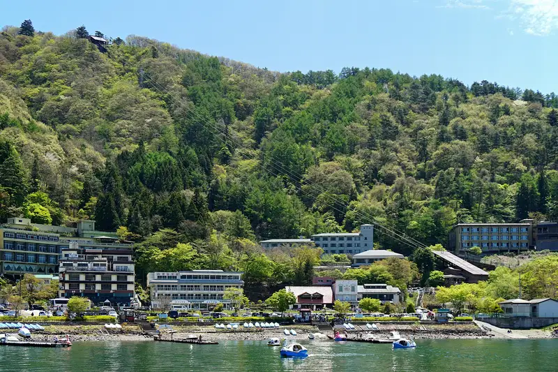
Lakeside hotels below Mt Tenjo with the ropeway cables up the slope, swan boats on Lake Kawaguchi
Licence: CC BY-SA 4.0 · Original photo
Changes: Resized and converted to WebP. Our changed version is shared under the same licence.
-
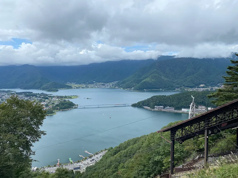
Lake Kawaguchi and its bridge seen from high on Mt Tenjo, ropeway cables and summit station on the right
Licence: CC BY 4.0 · Original photo
Changes: Resized and converted to WebP.
-
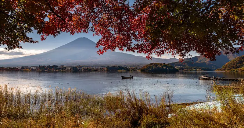
Red maples framing Mt Fuji across Lake Kawaguchi, a rowing boat on the water
Photo by Paulino Acosta Santana
Licence: Pexels License · Original photo
Changes: Resized and converted to WebP.
-
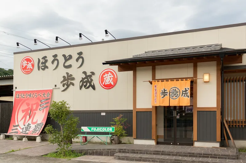
Front of the Hoto Funari noodle restaurant with its orange noren curtain
Licence: CC BY 2.0 · Original photo
Changes: Resized and converted to WebP.
-
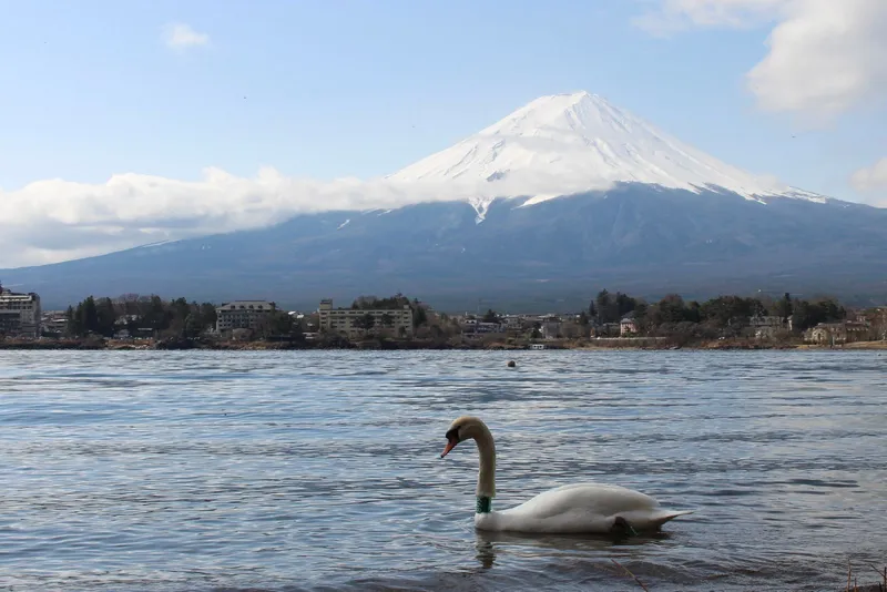
Swan on Lake Kawaguchi with lakeside hotels and Mt Fuji behind
Licence: Pexels License · Original photo
Changes: Resized and converted to WebP.
-
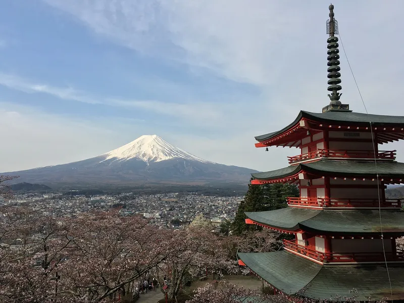
Chureito Pagoda with snow-capped Mt Fuji behind
Photo by Olivier Bruchez from Lausanne, Switzerland
Licence: CC BY-SA 2.0 · Original photo
Changes: Resized and converted to WebP. Our changed version is shared under the same licence.
-
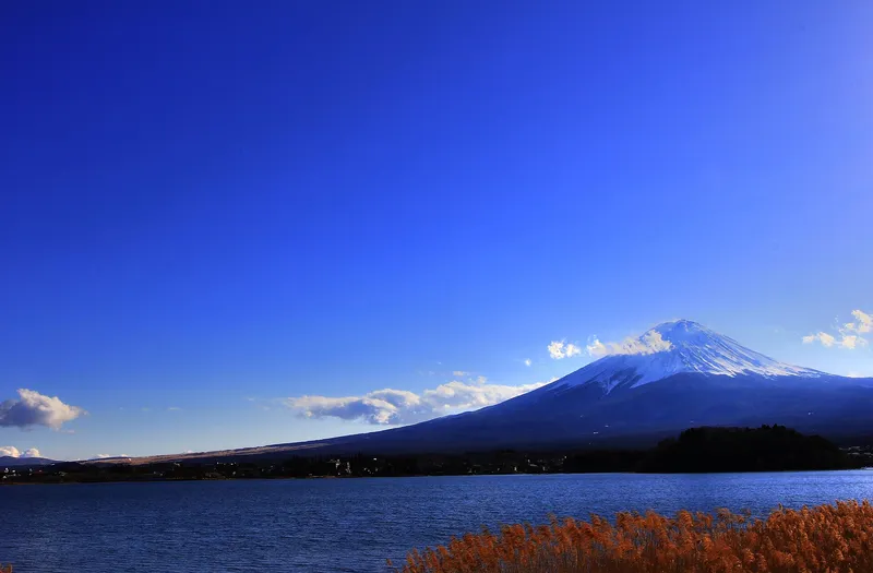
Snow-capped Mt Fuji over Lake Kawaguchi, orange reeds on the shore
Licence: CC BY 3.0 · Original photo
Changes: Resized and converted to WebP.
-
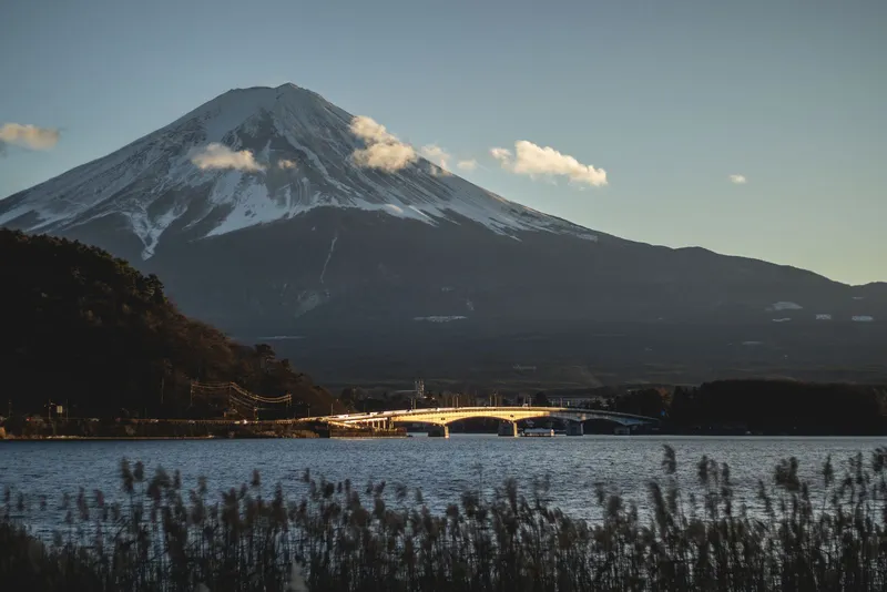
Snowy Mt Fuji in late sun, the lake bridge and reeds in front
Licence: Pexels License · Original photo
Changes: Resized and converted to WebP.


Things to do
-
Chureito Pagoda with snow-capped Mt Fuji and Fujiyoshida town behind, cherry trees in bloom
Licence: CC BY-SA 3.0 · Original photo
Changes: Resized and converted to WebP. Our changed version is shared under the same licence.
-
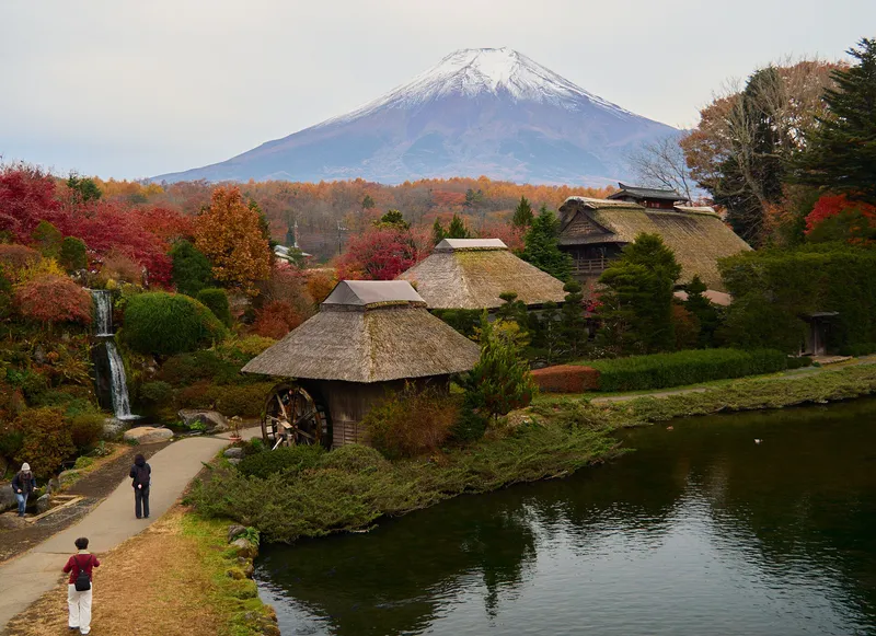
Mt Fuji above thatched houses, a water wheel and a pond in autumn colour at Oshino Hakkai
Changes: Resized and converted to WebP.
-
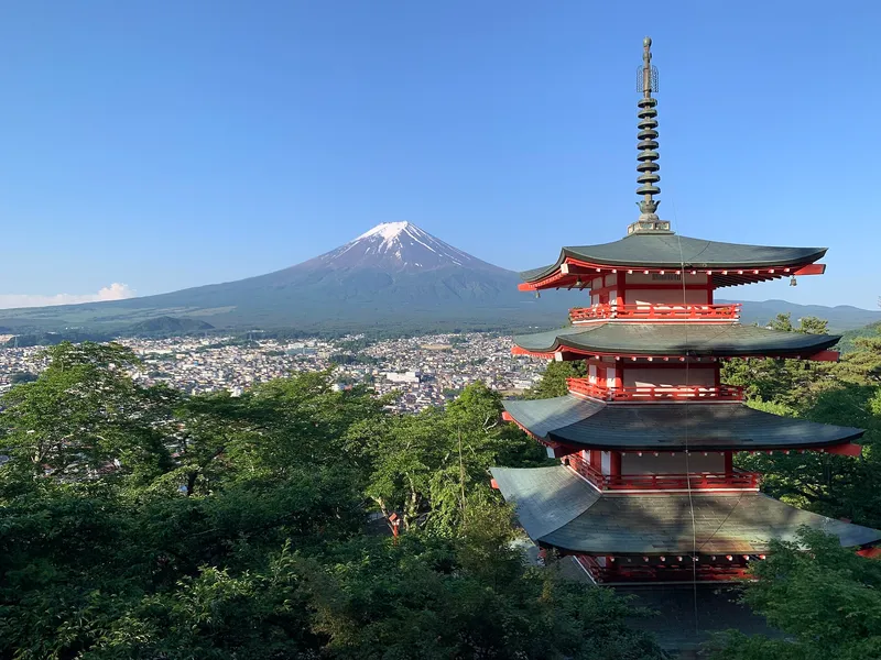
Chureito Pagoda among green summer trees, Mt Fuji with a little snow under a clear blue sky
Changes: Resized and converted to WebP.
-
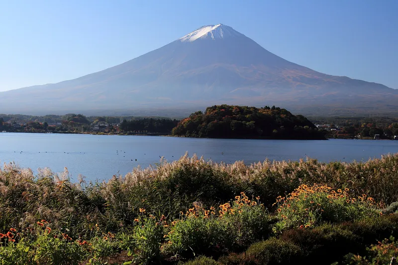
Mt Fuji over Lake Kawaguchi from Oishi Park, orange flowers and pampas grass in front
Licence: CC BY-SA 4.0 · Original photo
Changes: Resized and converted to WebP. Our changed version is shared under the same licence.
-
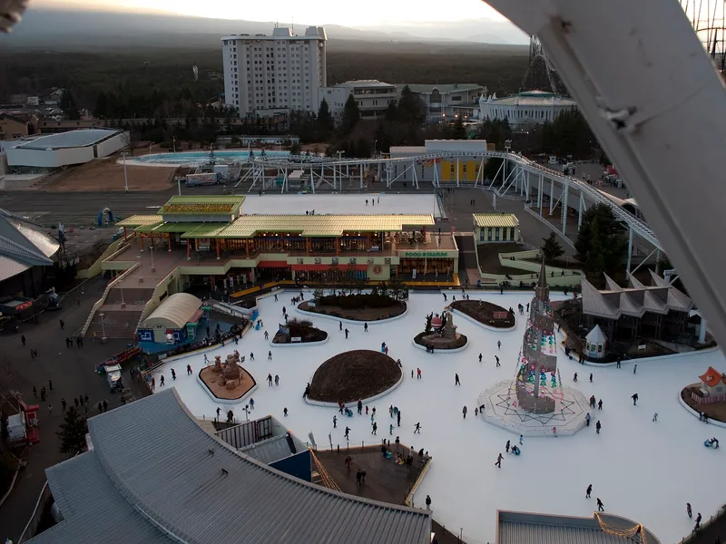
Fuji-Q Highland seen from above: food hall, ice rink and roller coaster track
Licence: Public domain · Original photo
Changes: Resized and converted to WebP.
-
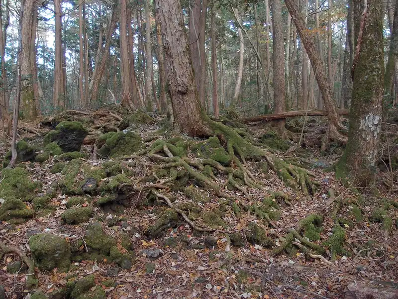
Moss-covered roots spreading over lava rock in Aokigahara forest
Photo by Guilhem Vellut from Annecy, France
Licence: CC BY 2.0 · Original photo
Changes: Resized and converted to WebP.
-
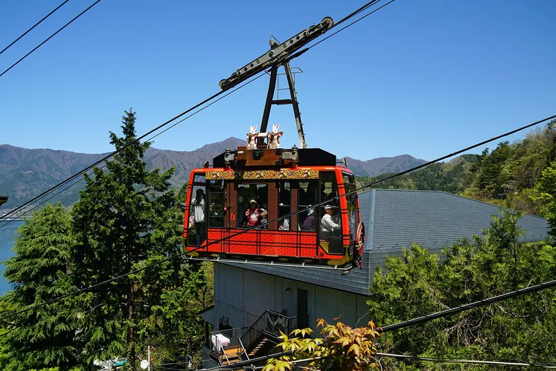
Red Kachi Kachi Ropeway gondola with rabbit figures, Lake Kawaguchi behind
Licence: CC BY-SA 4.0 · Original photo
Changes: Resized and converted to WebP. Our changed version is shared under the same licence.
-
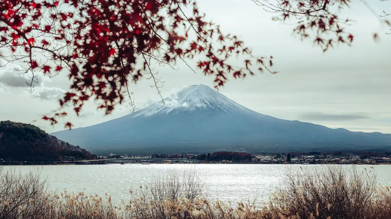
Mt Fuji across Lake Kawaguchi framed by red maple leaves, the lake bridge on the left
Licence: Pexels License · Original photo
Changes: Resized and converted to WebP.
-
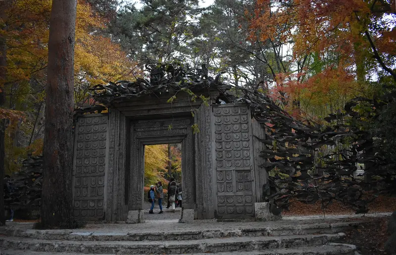
Carved wooden gate of the Itchiku Kubota Art Museum among autumn maples
Licence: CC BY-SA 4.0 · Original photo
Changes: Resized and converted to WebP. Our changed version is shared under the same licence.
-
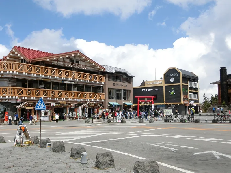
Fuji Subaru Line 5th Station lodges and red torii under a blue sky
Licence: Public domain · Original photo
Changes: Resized and converted to WebP.
-
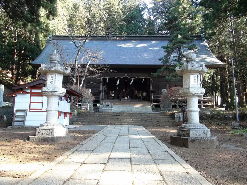
Worship hall of Kawaguchi Asama Shrine with stone lanterns on the approach
Licence: CC BY-SA 3.0 · Original photo
Changes: Resized and converted to WebP. Our changed version is shared under the same licence.
-
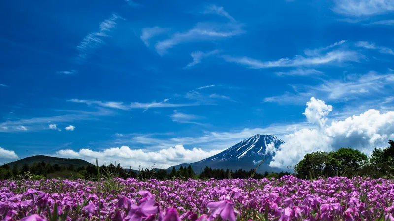
Pink moss phlox in bloom below Mt Fuji under a deep blue sky
Licence: CC BY-SA 3.0 · Original photo
Changes: Resized and converted to WebP. Our changed version is shared under the same licence.
-
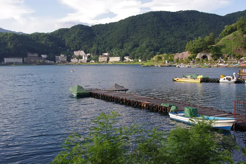
Wooden jetty with boats on Lake Kawaguchi, lakeside hotels beyond
Licence: CC BY-SA 4.0 · Original photo
Changes: Resized and converted to WebP. Our changed version is shared under the same licence.
-
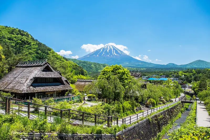
Thatched houses and canal path at Iyashi no Sato Nenba with Mt Fuji behind
Licence: CC BY-SA 4.0 · Original photo
Changes: Resized and converted to WebP. Our changed version is shared under the same licence.
-
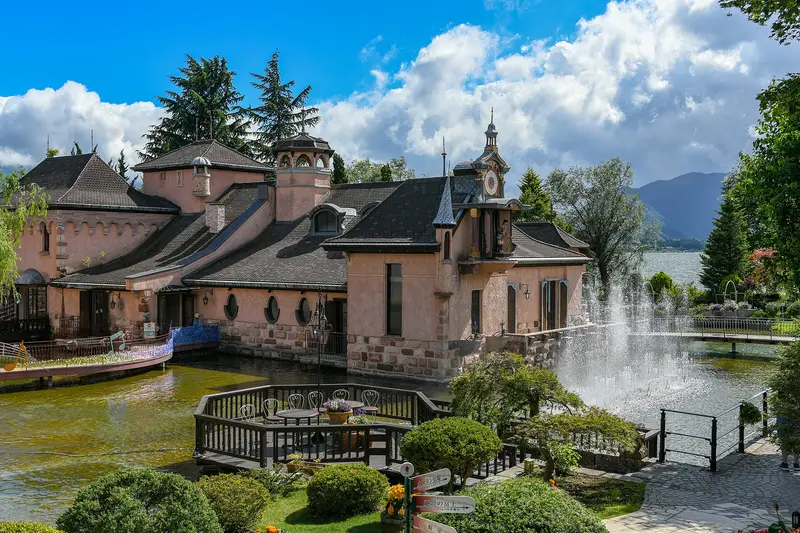
Pink European-style buildings by a pond with a fountain, Lake Kawaguchi behind
Photo by xiquinhosilva from Cacau
Licence: CC BY 2.0 · Original photo
Changes: Resized and converted to WebP.
-
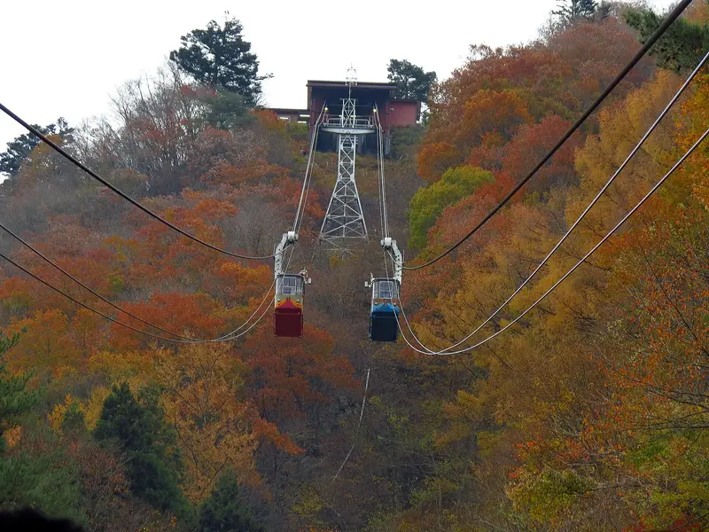
Two Kachi Kachi Ropeway gondolas climbing through autumn forest
Licence: CC BY-SA 2.0 · Original photo
Changes: Resized and converted to WebP. Our changed version is shared under the same licence.
-
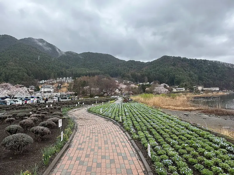
Brick path between flower beds along the Lake Kawaguchi shore at Oishi Park, cherry blossom
Licence: CC BY-SA 4.0 · Original photo
Changes: Resized and converted to WebP. Our changed version is shared under the same licence.
-
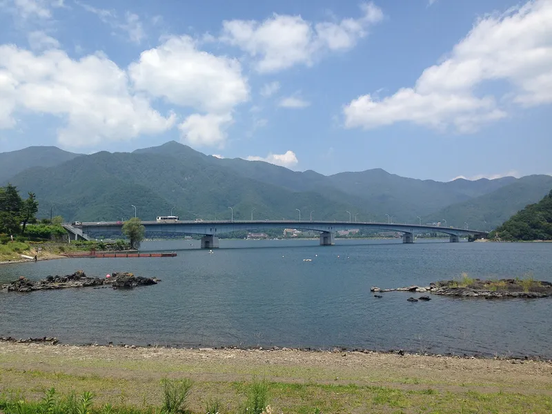
Kawaguchiko Ohashi bridge over Lake Kawaguchi from the lava-rock shore
Licence: CC BY-SA 3.0 · Original photo
Changes: Resized and converted to WebP. Our changed version is shared under the same licence.
-
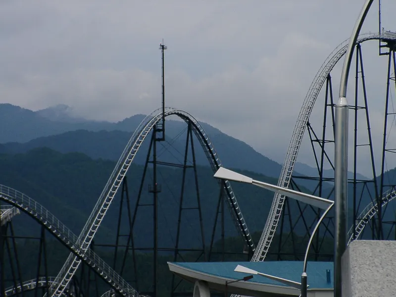
Tall roller coaster tracks against green mountains at Fuji-Q Highland on a cloudy day
Licence: CC BY 3.0 · Original photo
Changes: Resized and converted to WebP.
-
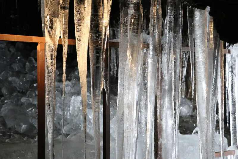
Long icicles hanging inside Narusawa Ice Cave
Licence: CC BY-SA 4.0 · Original photo
Changes: Resized and converted to WebP. Our changed version is shared under the same licence.
-
Red maples framing Mt Fuji across Lake Kawaguchi, a rowing boat on the water
Photo by Paulino Acosta Santana
Licence: Pexels License · Original photo
Changes: Resized and converted to WebP.
-
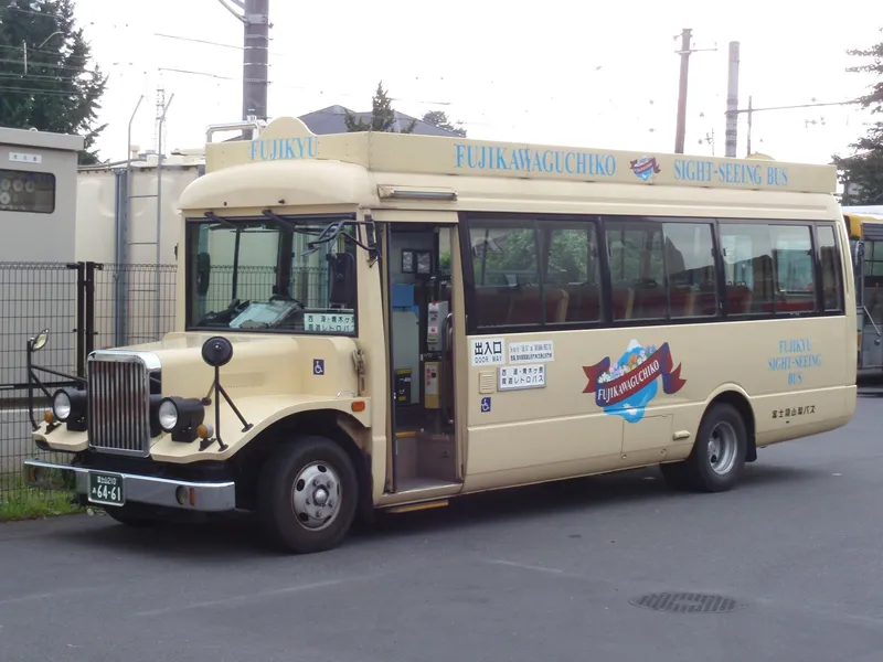
Cream retro-style Fujikyu bus signed Fujikawaguchiko Sight-Seeing Bus
Licence: Public domain · Original photo
Changes: Resized and converted to WebP.
-
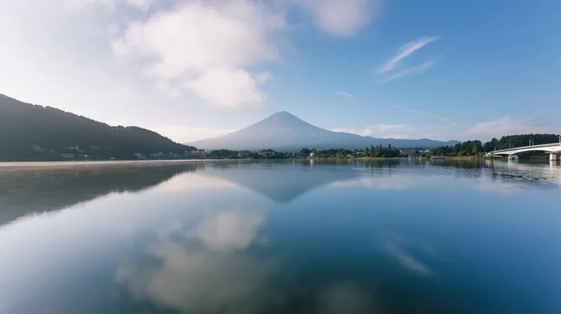
Mt Fuji and the lake bridge reflected in still water on a clear morning
Licence: Pexels License · Original photo
Changes: Resized and converted to WebP.
-
Lakeside hotels below Mt Tenjo with the ropeway cables up the slope, swan boats on Lake Kawaguchi
Licence: CC BY-SA 4.0 · Original photo
Changes: Resized and converted to WebP. Our changed version is shared under the same licence.


Where to stay
-
Lakeside hotels below Mt Tenjo with the ropeway cables up the slope, swan boats on Lake Kawaguchi
Licence: CC BY-SA 4.0 · Original photo
Changes: Resized and converted to WebP. Our changed version is shared under the same licence.
-
Swan on Lake Kawaguchi with lakeside hotels and Mt Fuji behind
Licence: Pexels License · Original photo
Changes: Resized and converted to WebP.
-
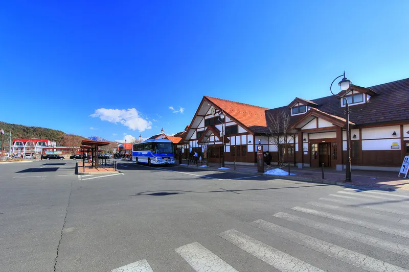
Wide view of Kawaguchiko Station under a deep blue sky
Licence: CC BY 3.0 · Original photo
Changes: Resized and converted to WebP.
-
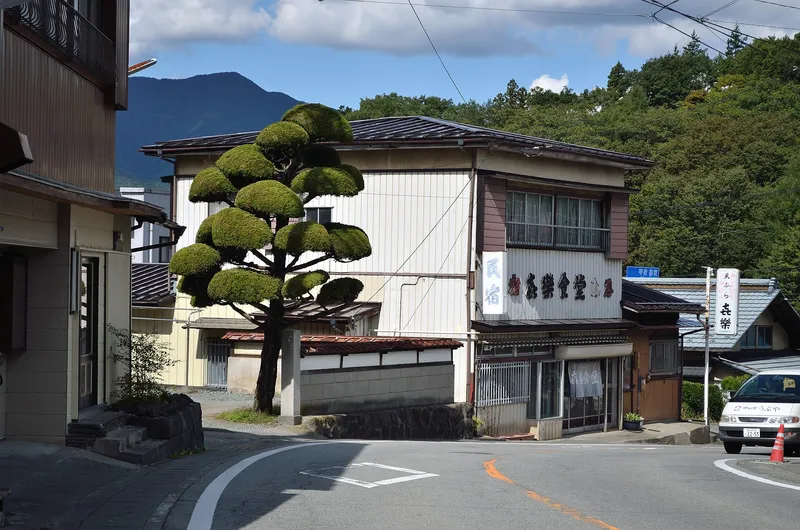
Street corner with a clipped pine tree and an old inn, a mountain behind
Licence: CC BY-SA 2.0 · Original photo
Changes: Resized and converted to WebP. Our changed version is shared under the same licence.
-
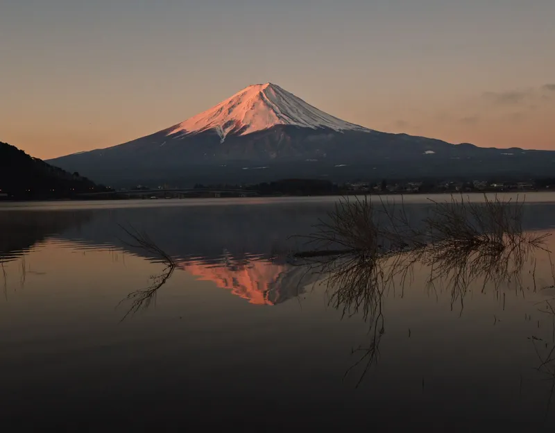
Mt Fuji glowing pink at dawn, reflected in Lake Kawaguchi
Licence: Pexels License · Original photo
Changes: Resized and converted to WebP.
-
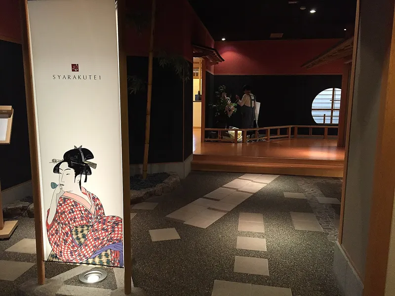
Dim entrance to a ryokan restaurant with an ukiyo-e panel and stepping stones
Photo by Stephen Kelly from San Francisco, CA, USA
Licence: CC BY 2.0 · Original photo
Changes: Resized and converted to WebP.
-
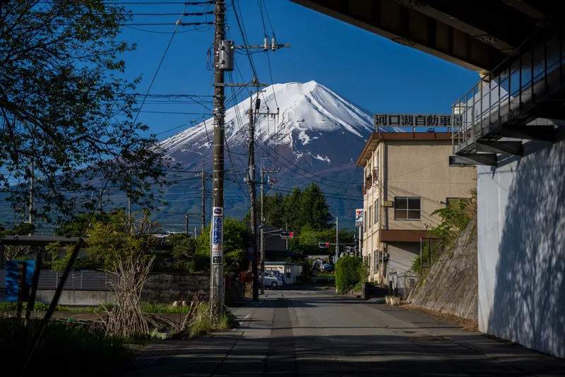
Town street lined with power lines leading toward snow-capped Mt Fuji
Licence: Pexels License · Original photo
Changes: Resized and converted to WebP.
-
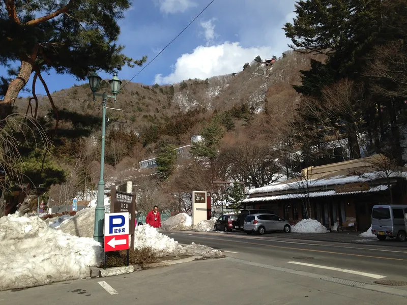
Snow-banked roadside below a wooded hill near Lake Kawaguchi in winter
Licence: CC BY-SA 3.0 · Original photo
Changes: Resized and converted to WebP. Our changed version is shared under the same licence.
-
Lake Kawaguchi and its bridge seen from high on Mt Tenjo, ropeway cables and summit station on the right
Licence: CC BY 4.0 · Original photo
Changes: Resized and converted to WebP.
-
Mt Fuji and the lake bridge reflected in still water on a clear morning
Licence: Pexels License · Original photo
Changes: Resized and converted to WebP.
-
Front of the Hoto Funari noodle restaurant with its orange noren curtain
Licence: CC BY 2.0 · Original photo
Changes: Resized and converted to WebP.
-
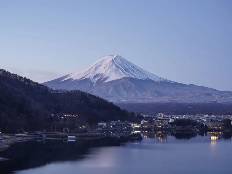
Snow-capped Mt Fuji at dusk above Lake Kawaguchi, lights coming on in the lakeside town
Licence: Pexels License · Original photo
Changes: Resized and converted to WebP.


Areas
-
Lake Kawaguchi and its bridge seen from high on Mt Tenjo, ropeway cables and summit station on the right
Licence: CC BY 4.0 · Original photo
Changes: Resized and converted to WebP.
-
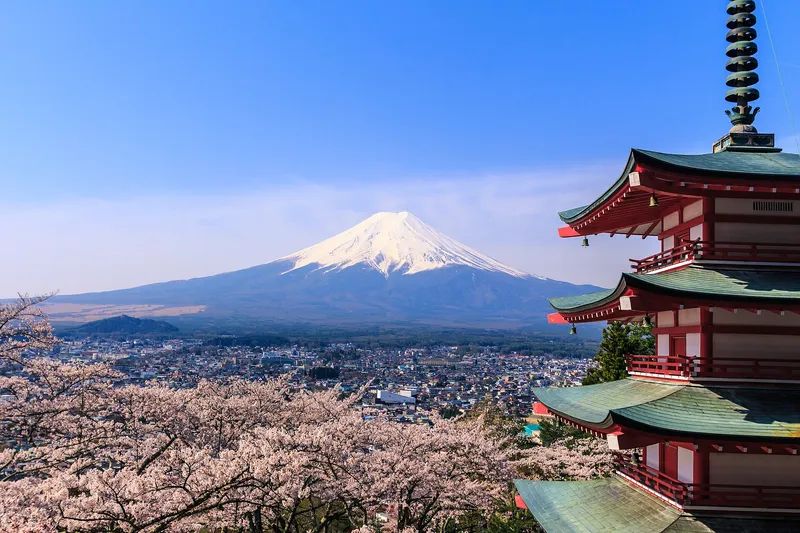
Chureito Pagoda beside full cherry blossom, snow-capped Mt Fuji above Fujiyoshida town
Photo by https://www.flickr.com/photos/reggiepen/
Licence: CC BY 2.0 · Original photo
Changes: Resized and converted to WebP.
-
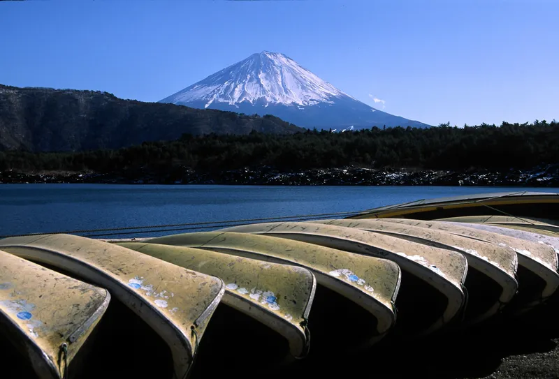
Rowing boats pulled up on the shore of Lake Saiko, snow-capped Mt Fuji behind
Licence: Public domain · Original photo
Changes: Resized and converted to WebP.
-
Mt Fuji and the lake bridge reflected in still water on a clear morning
Licence: Pexels License · Original photo
Changes: Resized and converted to WebP.
-
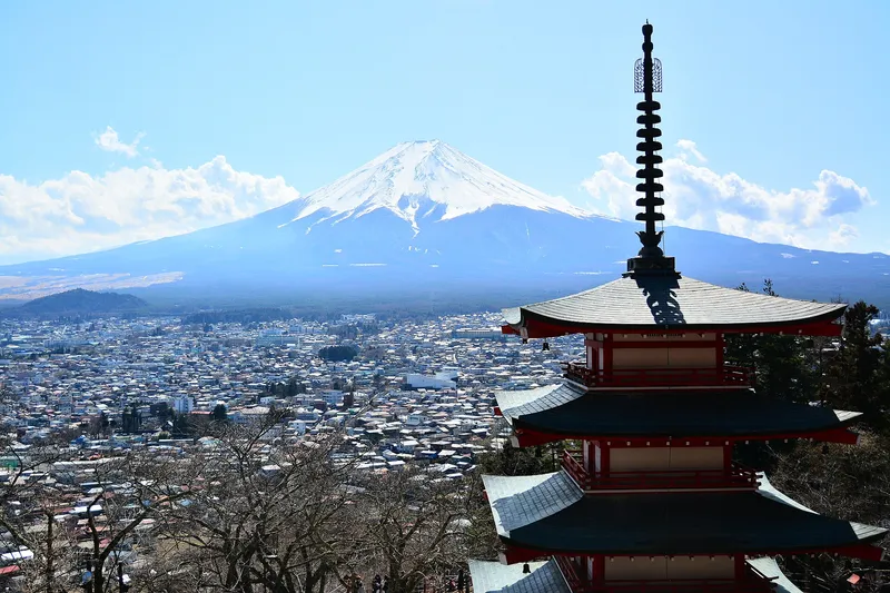
Snow-covered Mt Fuji above Fujiyoshida town, the top of Chureito Pagoda in front
Photo by Vitor Coelho Nisida from São Paulo, Brasil
Licence: Public domain · Original photo
Changes: Resized and converted to WebP.
-
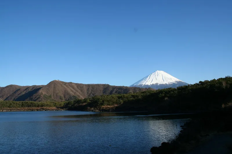
Snow-capped Mt Fuji over the pine-covered shore of Lake Saiko, deep blue sky
Photo by Amarpreet.singh.in at English Wikipedia
Licence: CC BY-SA 3.0 · Original photo
Changes: Resized and converted to WebP. Our changed version is shared under the same licence.
-
Brick path between flower beds along the Lake Kawaguchi shore at Oishi Park, cherry blossom
Licence: CC BY-SA 4.0 · Original photo
Changes: Resized and converted to WebP. Our changed version is shared under the same licence.
-
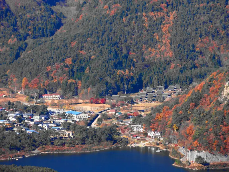
Iyashi no Sato Nenba village from above in autumn, Lake Saiko beyond
Licence: CC BY 3.0 · Original photo
Changes: Resized and converted to WebP.
-
Lakeside hotels below Mt Tenjo with the ropeway cables up the slope, swan boats on Lake Kawaguchi
Licence: CC BY-SA 4.0 · Original photo
Changes: Resized and converted to WebP. Our changed version is shared under the same licence.
-
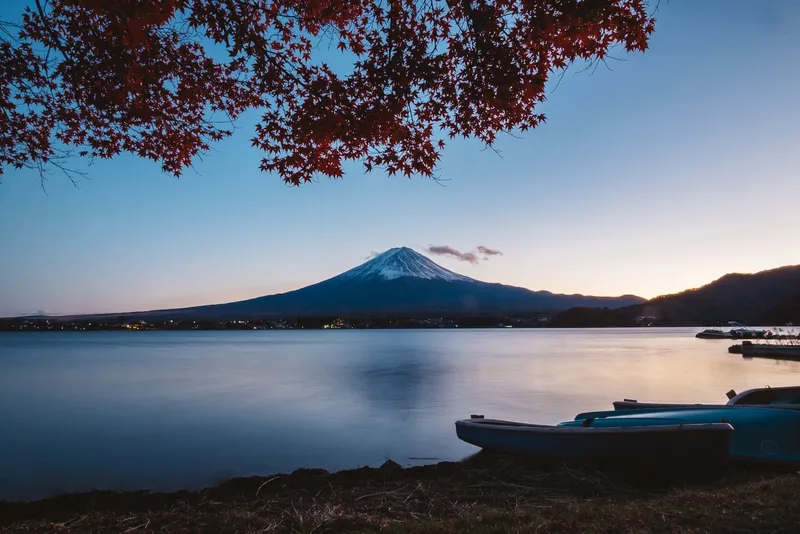
Mt Fuji at dusk across Lake Kawaguchi, red maple leaves above and boats on the shore
Licence: Pexels License · Original photo
Changes: Resized and converted to WebP.
-
Cream retro-style Fujikyu bus signed Fujikawaguchiko Sight-Seeing Bus
Licence: Public domain · Original photo
Changes: Resized and converted to WebP.
-
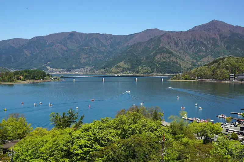
Lake Kawaguchi and Kawaguchiko Ohashi bridge from Mt Tenjo, swan boats below
Licence: CC BY-SA 4.0 · Original photo
Changes: Resized and converted to WebP. Our changed version is shared under the same licence.


Itineraries
-
Red maples framing Mt Fuji across Lake Kawaguchi, a rowing boat on the water
Photo by Paulino Acosta Santana
Licence: Pexels License · Original photo
Changes: Resized and converted to WebP.
-
Mt Fuji at dusk across Lake Kawaguchi, red maple leaves above and boats on the shore
Licence: Pexels License · Original photo
Changes: Resized and converted to WebP.
-
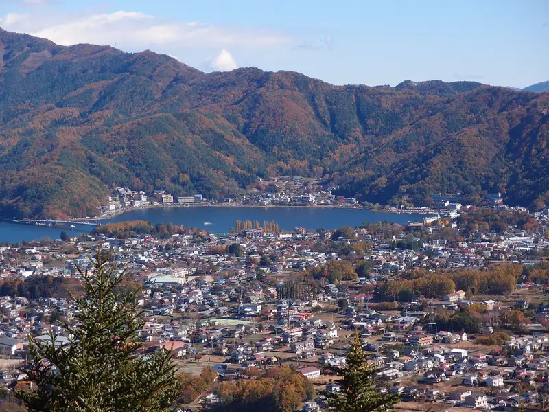
Fujikawaguchiko town spread along Lake Kawaguchi, autumn-coloured hills behind
Photo by Guilhem Vellut from Annecy, France
Licence: CC BY 2.0 · Original photo
Changes: Resized and converted to WebP.
-
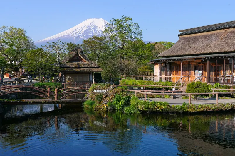
Snow-capped Mt Fuji above thatched houses and the spring pond at Oshino Hakkai
Licence: CC BY-SA 4.0 · Original photo
Changes: Resized and converted to WebP. Our changed version is shared under the same licence.
-
Mt Fuji glowing pink at dawn, reflected in Lake Kawaguchi
Licence: Pexels License · Original photo
Changes: Resized and converted to WebP.
-
Cream retro-style Fujikyu bus signed Fujikawaguchiko Sight-Seeing Bus
Licence: Public domain · Original photo
Changes: Resized and converted to WebP.
-
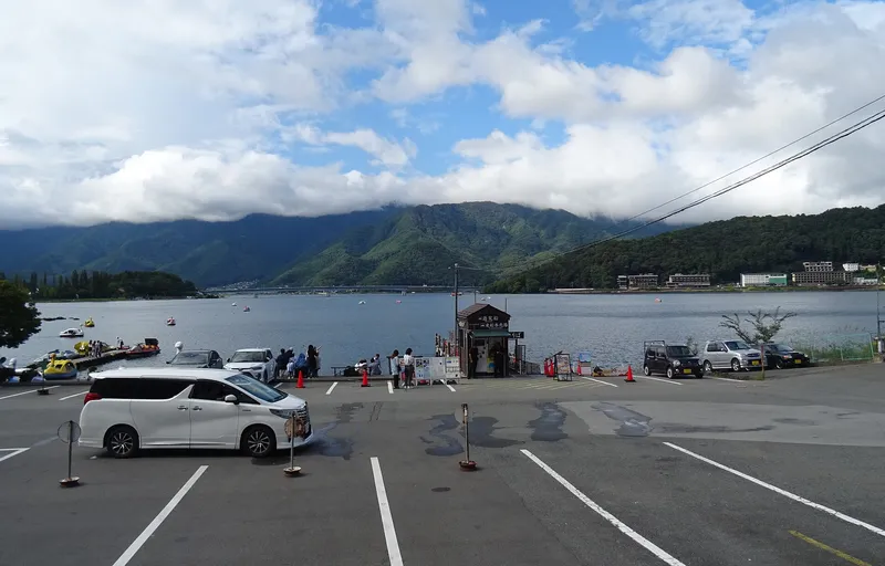
Lakeside car park and pedal boats on Lake Kawaguchi, the lake bridge in the distance
Licence: CC BY 4.0 · Original photo
Changes: Resized and converted to WebP.
-
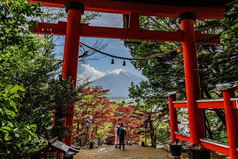
Mt Fuji framed by the big red torii at Arakurayama Sengen Park, red maples below
Licence: CC BY-SA 4.0 · Original photo
Changes: Resized and converted to WebP. Our changed version is shared under the same licence.
-
Chureito Pagoda beside full cherry blossom, snow-capped Mt Fuji above Fujiyoshida town
Photo by https://www.flickr.com/photos/reggiepen/
Licence: CC BY 2.0 · Original photo
Changes: Resized and converted to WebP.
-
Chureito Pagoda with snow-capped Mt Fuji and Fujiyoshida town behind, cherry trees in bloom
Licence: CC BY-SA 3.0 · Original photo
Changes: Resized and converted to WebP. Our changed version is shared under the same licence.
-
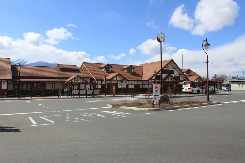
Kawaguchiko Station front under a blue sky, Mt Fuji peak at left
Licence: CC BY 3.0 · Original photo
Changes: Resized and converted to WebP.
-
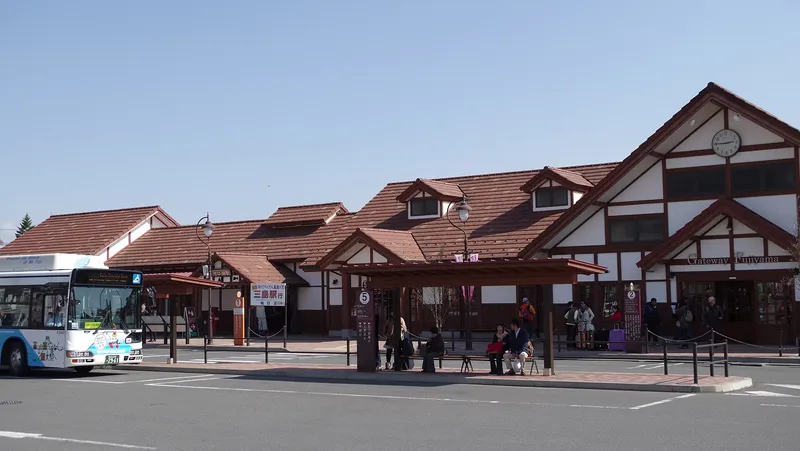
Kawaguchiko Station front with a bus stop and local bus
Licence: CC BY-SA 3.0 · Original photo
Changes: Resized and converted to WebP. Our changed version is shared under the same licence.
-
Lakeside hotels below Mt Tenjo with the ropeway cables up the slope, swan boats on Lake Kawaguchi
Licence: CC BY-SA 4.0 · Original photo
Changes: Resized and converted to WebP. Our changed version is shared under the same licence.


Getting there
Photos from the publisher's own trip, February 2024
-
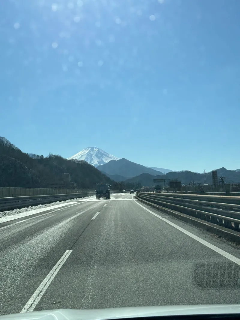
Mount Fuji seen from the Chuo Expressway near Tsuru
Photo: Adam Yong / YS Feet, February 2024
Photo by the publisher, all rights reserved.
Changes: Resized, converted to WebP, location and camera data removed.
-
Kawaguchiko Station front under a blue sky, Mt Fuji peak at left
Licence: CC BY 3.0 · Original photo
Changes: Resized and converted to WebP.
-
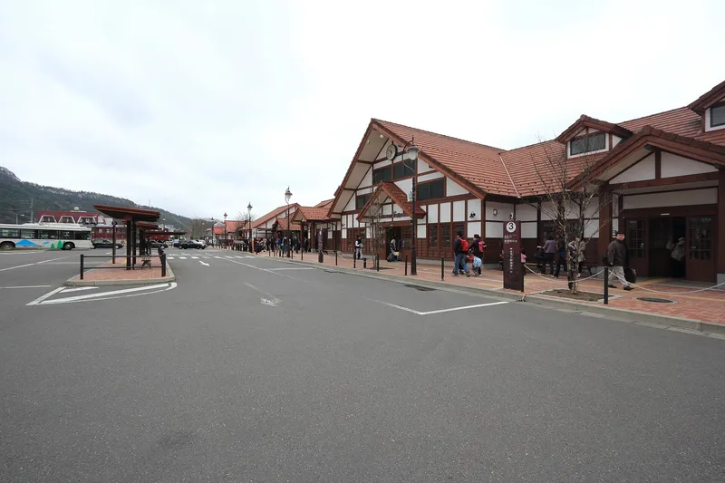
Kawaguchiko Station and bus bays on a grey day
Licence: CC BY 3.0 · Original photo
Changes: Resized and converted to WebP.
-
Chureito Pagoda with snow-capped Mt Fuji behind
Photo by Olivier Bruchez from Lausanne, Switzerland
Licence: CC BY-SA 2.0 · Original photo
Changes: Resized and converted to WebP. Our changed version is shared under the same licence.
-
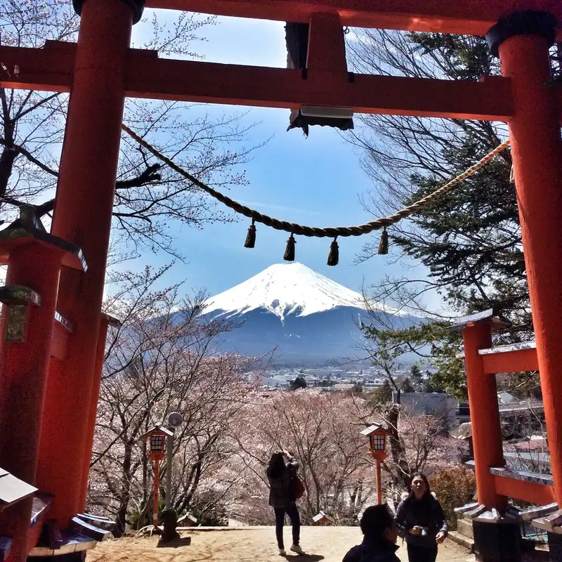
Mt Fuji framed by the red torii at Arakurayama Sengen Park, cherry trees in bloom below
Licence: CC BY-SA 3.0 · Original photo
Changes: Resized and converted to WebP. Our changed version is shared under the same licence.
-
Mt Fuji glowing pink at dawn, reflected in Lake Kawaguchi
Licence: Pexels License · Original photo
Changes: Resized and converted to WebP.
-
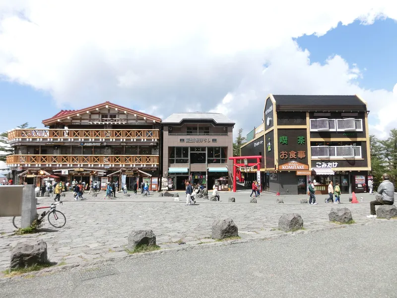
Lodges and red torii across the lava-stone plaza at the Fuji Subaru Line 5th Station
Licence: Public domain · Original photo
Changes: Resized and converted to WebP.
-
Mt Fuji at dusk across Lake Kawaguchi, red maple leaves above and boats on the shore
Licence: Pexels License · Original photo
Changes: Resized and converted to WebP.
-
Lakeside hotels below Mt Tenjo with the ropeway cables up the slope, swan boats on Lake Kawaguchi
Licence: CC BY-SA 4.0 · Original photo
Changes: Resized and converted to WebP. Our changed version is shared under the same licence.
-
Mt Fuji and the lake bridge reflected in still water on a clear morning
Licence: Pexels License · Original photo
Changes: Resized and converted to WebP.
-
Snow-capped Mt Fuji at dusk above Lake Kawaguchi, lights coming on in the lakeside town
Licence: Pexels License · Original photo
Changes: Resized and converted to WebP.


Weather
Photos from the publisher's own trip, February 2024
-
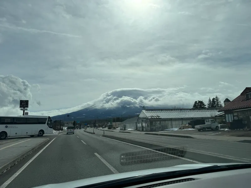
Cloud cap over Mount Fuji, seen from a road near Kawaguchiko
Photo: Adam Yong / YS Feet, February 2024
Photo by the publisher, all rights reserved.
Changes: Resized, converted to WebP, location and camera data removed.
-
Snow-capped Mt Fuji at dusk above Lake Kawaguchi, lights coming on in the lakeside town
Licence: Pexels License · Original photo
Changes: Resized and converted to WebP.
-
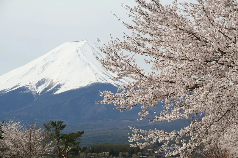
Snow-capped Mt Fuji behind a cherry tree in full blossom
Licence: CC BY 2.0 · Original photo
Changes: Resized and converted to WebP.
-
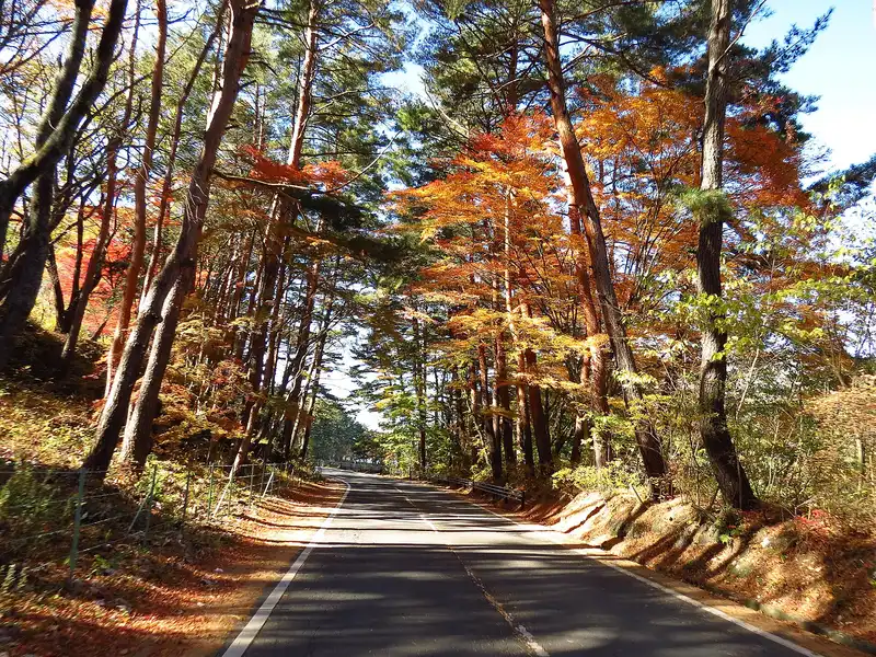
Quiet road through red pines and orange maples in autumn
Licence: CC BY-SA 2.0 · Original photo
Changes: Resized and converted to WebP. Our changed version is shared under the same licence.
-
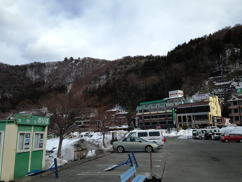
Lakeside car park and swan-boat kiosk below a snowy wooded hill
Licence: CC BY-SA 3.0 · Original photo
Changes: Resized and converted to WebP. Our changed version is shared under the same licence.
-
Kawaguchiko Station front under a blue sky, Mt Fuji peak at left
Licence: CC BY 3.0 · Original photo
Changes: Resized and converted to WebP.
-
Lakeside hotels below Mt Tenjo with the ropeway cables up the slope, swan boats on Lake Kawaguchi
Licence: CC BY-SA 4.0 · Original photo
Changes: Resized and converted to WebP. Our changed version is shared under the same licence.
-
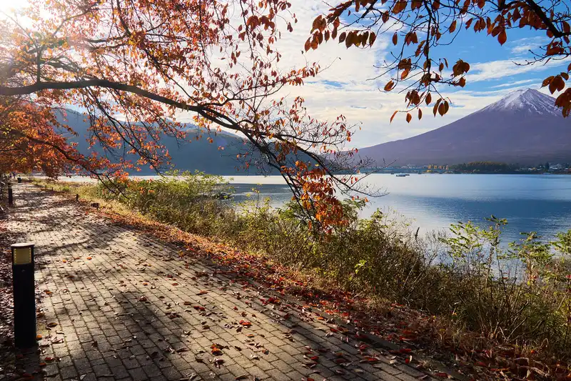
Lakeside brick path under autumn cherry leaves, Mt Fuji across Lake Kawaguchi
Changes: Resized and converted to WebP.
-
Chureito Pagoda with snow-capped Mt Fuji and Fujiyoshida town behind, cherry trees in bloom
Licence: CC BY-SA 3.0 · Original photo
Changes: Resized and converted to WebP. Our changed version is shared under the same licence.


Tours
-
Mt Fuji and the lake bridge reflected in still water on a clear morning
Licence: Pexels License · Original photo
Changes: Resized and converted to WebP.
-
Snow-capped Mt Fuji above thatched houses and the spring pond at Oshino Hakkai
Licence: CC BY-SA 4.0 · Original photo
Changes: Resized and converted to WebP. Our changed version is shared under the same licence.
-
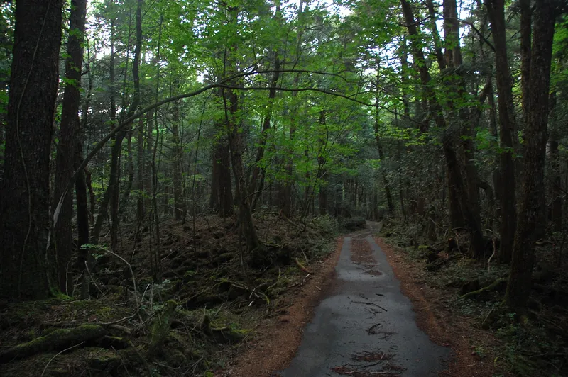
Narrow path through tall trees in Aokigahara forest
Photo by Simon from Quebec, Canada
Licence: CC BY-SA 2.0 · Original photo
Changes: Resized and converted to WebP. Our changed version is shared under the same licence.
-
Snow-capped Mt Fuji over Lake Kawaguchi, orange reeds on the shore
Licence: CC BY 3.0 · Original photo
Changes: Resized and converted to WebP.
-
Chureito Pagoda with snow-capped Mt Fuji behind
Photo by Olivier Bruchez from Lausanne, Switzerland
Licence: CC BY-SA 2.0 · Original photo
Changes: Resized and converted to WebP. Our changed version is shared under the same licence.
-
Mt Fuji at dusk across Lake Kawaguchi, red maple leaves above and boats on the shore
Licence: Pexels License · Original photo
Changes: Resized and converted to WebP.
-
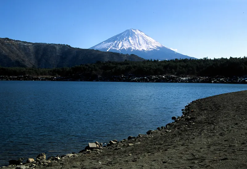
Snow-capped Mt Fuji rising above the forest across Lake Saiko, a stony shore in front
Licence: Public domain · Original photo
Changes: Resized and converted to WebP.
-
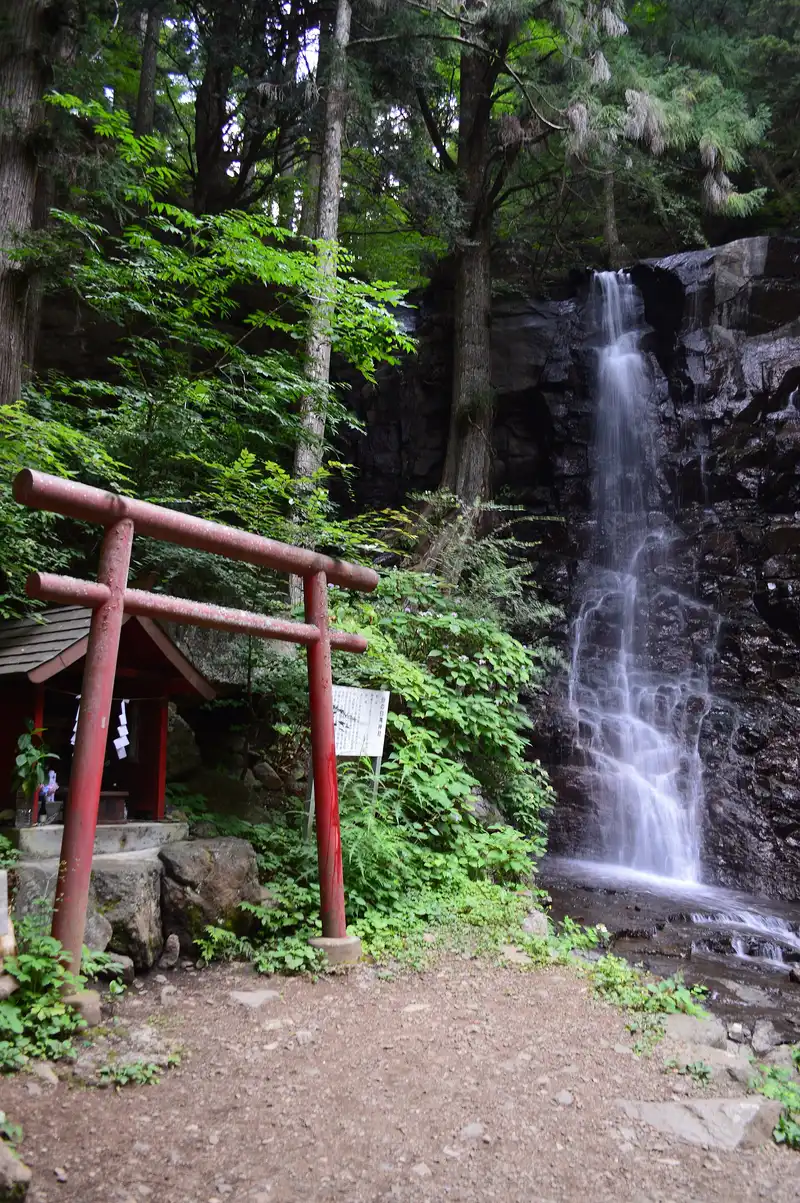
Haha-no-shirataki waterfall with a red torii and small shrine
Changes: Resized and converted to WebP.
-
Lakeside hotels below Mt Tenjo with the ropeway cables up the slope, swan boats on Lake Kawaguchi
Licence: CC BY-SA 4.0 · Original photo
Changes: Resized and converted to WebP. Our changed version is shared under the same licence.
-
Kawaguchiko Station front under a blue sky, Mt Fuji peak at left
Licence: CC BY 3.0 · Original photo
Changes: Resized and converted to WebP.
-
Chureito Pagoda with snow-capped Mt Fuji and Fujiyoshida town behind, cherry trees in bloom
Licence: CC BY-SA 3.0 · Original photo
Changes: Resized and converted to WebP. Our changed version is shared under the same licence.
-
Lake Kawaguchi and its bridge seen from high on Mt Tenjo, ropeway cables and summit station on the right
Licence: CC BY 4.0 · Original photo
Changes: Resized and converted to WebP.


Food and drink
-
Front of the Hoto Funari noodle restaurant with its orange noren curtain
Licence: CC BY 2.0 · Original photo
Changes: Resized and converted to WebP.
-
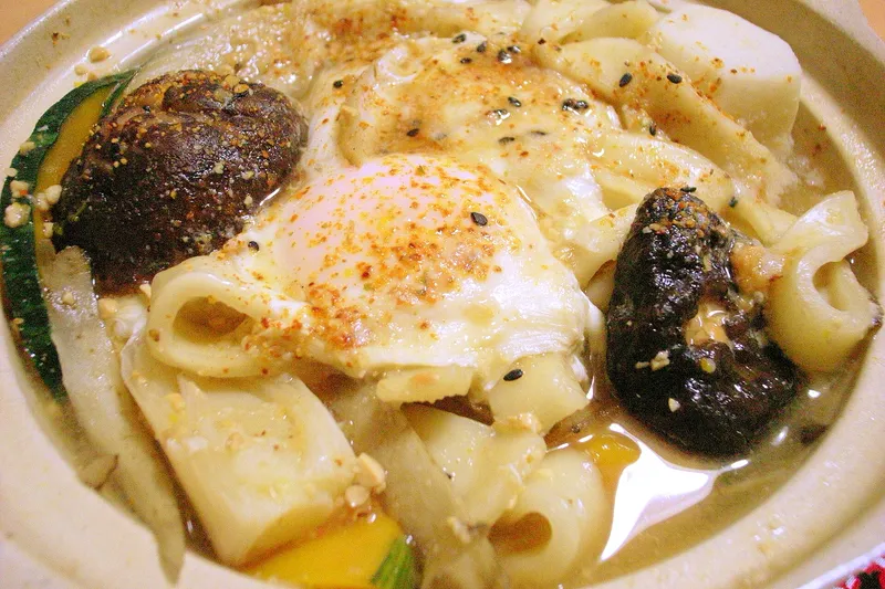
Hoto with an egg, shiitake and pumpkin in a clay pot
Licence: CC BY 2.0 · Original photo
Changes: Resized and converted to WebP.
-
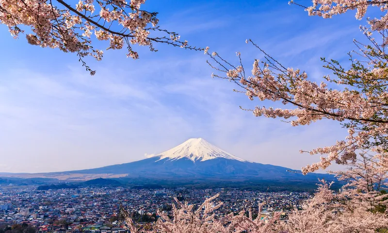
Snow-capped Mt Fuji above Fujiyoshida town, framed by cherry blossom
Licence: CC BY-SA 3.0 · Original photo
Changes: Resized and converted to WebP. Our changed version is shared under the same licence.
-
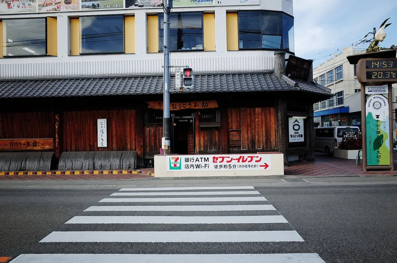
Wooden front of the Hoto Fudo noodle restaurant at a pedestrian crossing
Licence: CC BY-SA 2.0 · Original photo
Changes: Resized and converted to WebP. Our changed version is shared under the same licence.
-
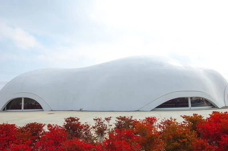
The white dome building of a Hoto Fudo noodle restaurant behind red azaleas
Licence: CC BY 2.0 · Original photo
Changes: Resized and converted to WebP.
-
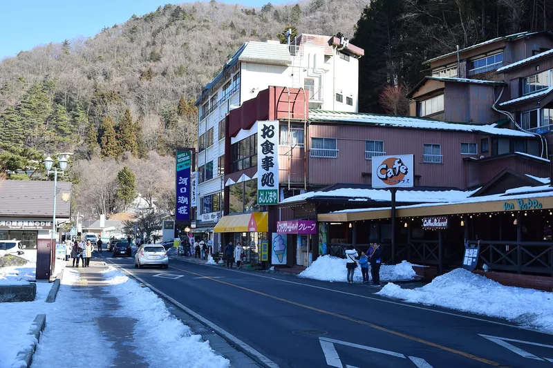
Shops and cafés on a snowy street, wooded hill behind
Photo by Raita Futo from Tokyo, Japan
Licence: CC BY 2.0 · Original photo
Changes: Resized and converted to WebP.
-
Lakeside hotels below Mt Tenjo with the ropeway cables up the slope, swan boats on Lake Kawaguchi
Licence: CC BY-SA 4.0 · Original photo
Changes: Resized and converted to WebP. Our changed version is shared under the same licence.
-
Chureito Pagoda with snow-capped Mt Fuji and Fujiyoshida town behind, cherry trees in bloom
Licence: CC BY-SA 3.0 · Original photo
Changes: Resized and converted to WebP. Our changed version is shared under the same licence.
-
Lake Kawaguchi and its bridge seen from high on Mt Tenjo, ropeway cables and summit station on the right
Licence: CC BY 4.0 · Original photo
Changes: Resized and converted to WebP.
-
Red maples framing Mt Fuji across Lake Kawaguchi, a rowing boat on the water
Photo by Paulino Acosta Santana
Licence: Pexels License · Original photo
Changes: Resized and converted to WebP.


Getting around
Photos from the publisher's own trip, February 2024
-
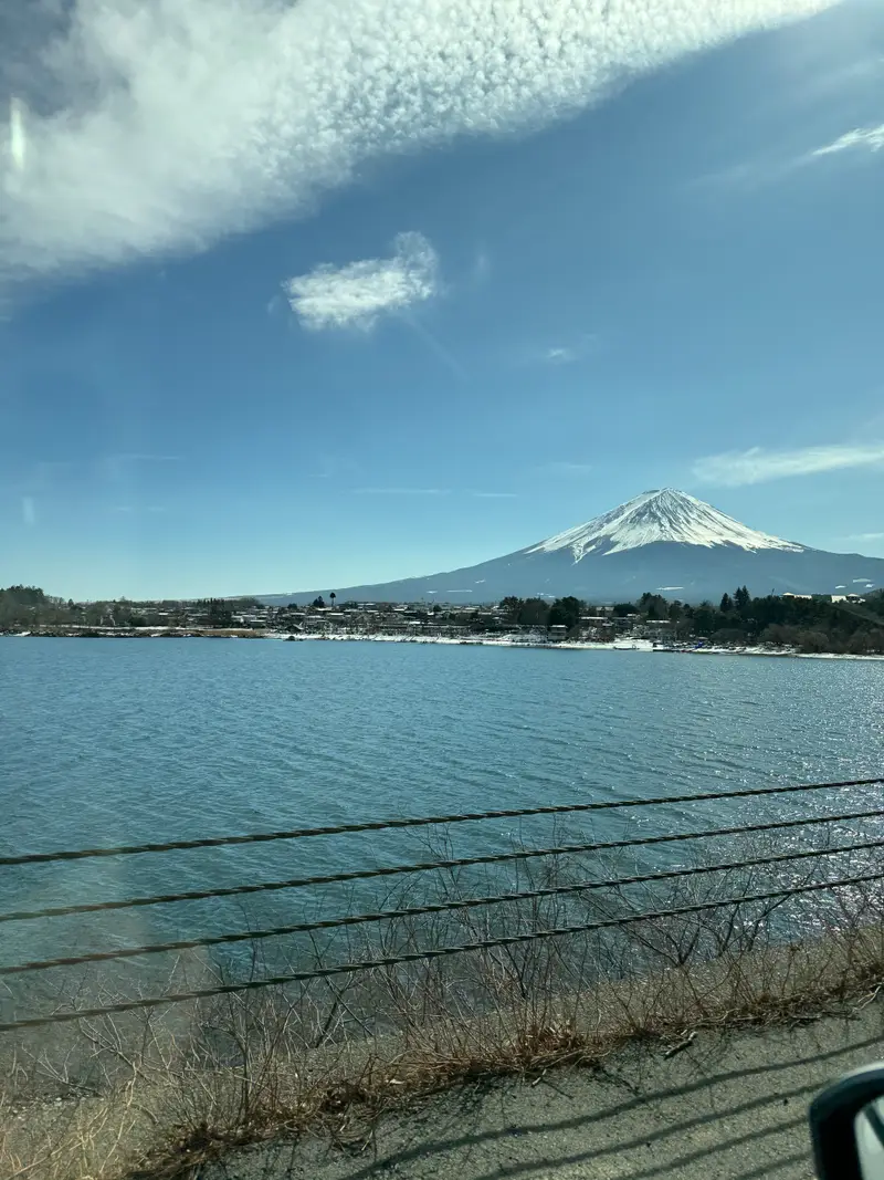
Mount Fuji above Lake Kawaguchi on a clear winter day
Photo: Adam Yong / YS Feet, February 2024
Photo by the publisher, all rights reserved.
Changes: Resized, converted to WebP, location and camera data removed.
-
Cream retro-style Fujikyu bus signed Fujikawaguchiko Sight-Seeing Bus
Licence: Public domain · Original photo
Changes: Resized and converted to WebP.
-
Kawaguchiko Station front with a bus stop and local bus
Licence: CC BY-SA 3.0 · Original photo
Changes: Resized and converted to WebP. Our changed version is shared under the same licence.
-
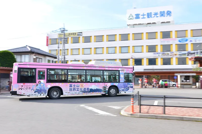
Pink Mt Fuji World Heritage bus passing the Fuji Kanko building
Licence: CC BY-SA 3.0 · Original photo
Changes: Resized and converted to WebP. Our changed version is shared under the same licence.
-
Quiet road through red pines and orange maples in autumn
Licence: CC BY-SA 2.0 · Original photo
Changes: Resized and converted to WebP. Our changed version is shared under the same licence.
-
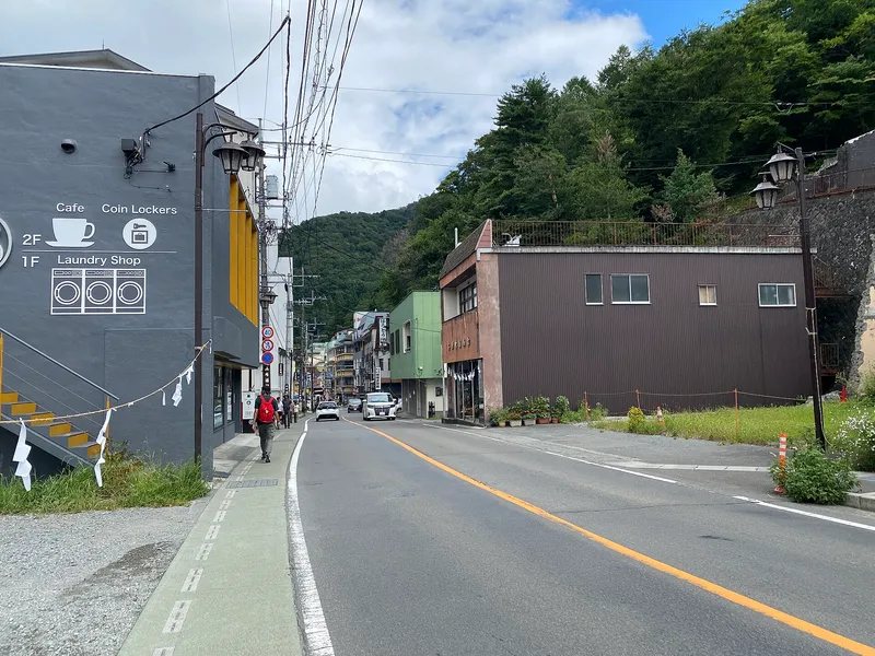
Street into Kawaguchiko town past a café and laundry, forested hill behind
Licence: CC BY 4.0 · Original photo
Changes: Resized and converted to WebP.
-
Kawaguchiko Ohashi bridge over Lake Kawaguchi from the lava-rock shore
Licence: CC BY-SA 3.0 · Original photo
Changes: Resized and converted to WebP. Our changed version is shared under the same licence.
-
Chureito Pagoda with snow-capped Mt Fuji and Fujiyoshida town behind, cherry trees in bloom
Licence: CC BY-SA 3.0 · Original photo
Changes: Resized and converted to WebP. Our changed version is shared under the same licence.
-
Lake Kawaguchi and its bridge seen from high on Mt Tenjo, ropeway cables and summit station on the right
Licence: CC BY 4.0 · Original photo
Changes: Resized and converted to WebP.
-
Red maples framing Mt Fuji across Lake Kawaguchi, a rowing boat on the water
Photo by Paulino Acosta Santana
Licence: Pexels License · Original photo
Changes: Resized and converted to WebP.
-
Lakeside hotels below Mt Tenjo with the ropeway cables up the slope, swan boats on Lake Kawaguchi
Licence: CC BY-SA 4.0 · Original photo
Changes: Resized and converted to WebP. Our changed version is shared under the same licence.


Map
-
Lake Kawaguchi and Kawaguchiko Ohashi bridge from Mt Tenjo, swan boats below
Licence: CC BY-SA 4.0 · Original photo
Changes: Resized and converted to WebP. Our changed version is shared under the same licence.
-
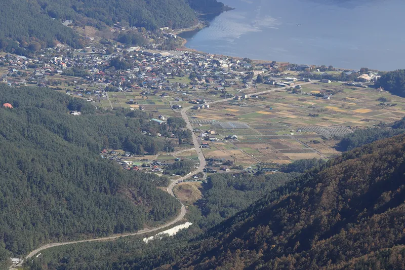
Village, fields and the north shore of Lake Kawaguchi seen from a forested ridge
Licence: CC BY-SA 4.0 · Original photo
Changes: Resized and converted to WebP. Our changed version is shared under the same licence.
-
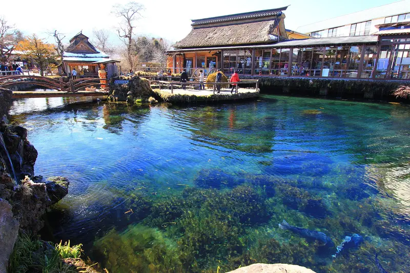
Clear blue spring pond at Oshino Hakkai with trout, thatched house behind
Licence: CC BY 3.0 · Original photo
Changes: Resized and converted to WebP.
-
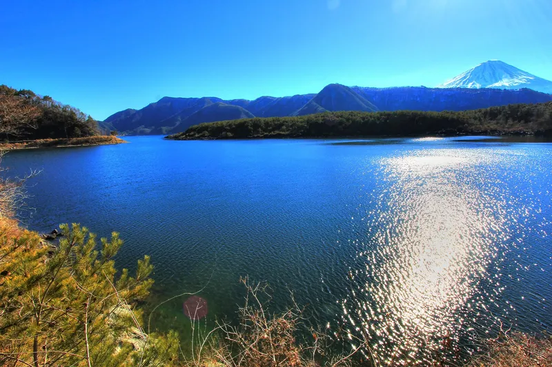
Wide bay of Lake Saiko with a wooded point, Mt Fuji in the distance
Licence: CC BY 3.0 · Original photo
Changes: Resized and converted to WebP.
-
Kawaguchiko Station front with a bus stop and local bus
Licence: CC BY-SA 3.0 · Original photo
Changes: Resized and converted to WebP. Our changed version is shared under the same licence.
-
Lake Kawaguchi and its bridge seen from high on Mt Tenjo, ropeway cables and summit station on the right
Licence: CC BY 4.0 · Original photo
Changes: Resized and converted to WebP.
-
Lakeside hotels below Mt Tenjo with the ropeway cables up the slope, swan boats on Lake Kawaguchi
Licence: CC BY-SA 4.0 · Original photo
Changes: Resized and converted to WebP. Our changed version is shared under the same licence.
-
Mt Fuji at dusk across Lake Kawaguchi, red maple leaves above and boats on the shore
Licence: Pexels License · Original photo
Changes: Resized and converted to WebP.
-
Chureito Pagoda with snow-capped Mt Fuji and Fujiyoshida town behind, cherry trees in bloom
Licence: CC BY-SA 3.0 · Original photo
Changes: Resized and converted to WebP. Our changed version is shared under the same licence.


Kawaguchiko or Hakone
-
Lakeside brick path under autumn cherry leaves, Mt Fuji across Lake Kawaguchi
Changes: Resized and converted to WebP.
-
Mt Fuji and the lake bridge reflected in still water on a clear morning
Licence: Pexels License · Original photo
Changes: Resized and converted to WebP.
-
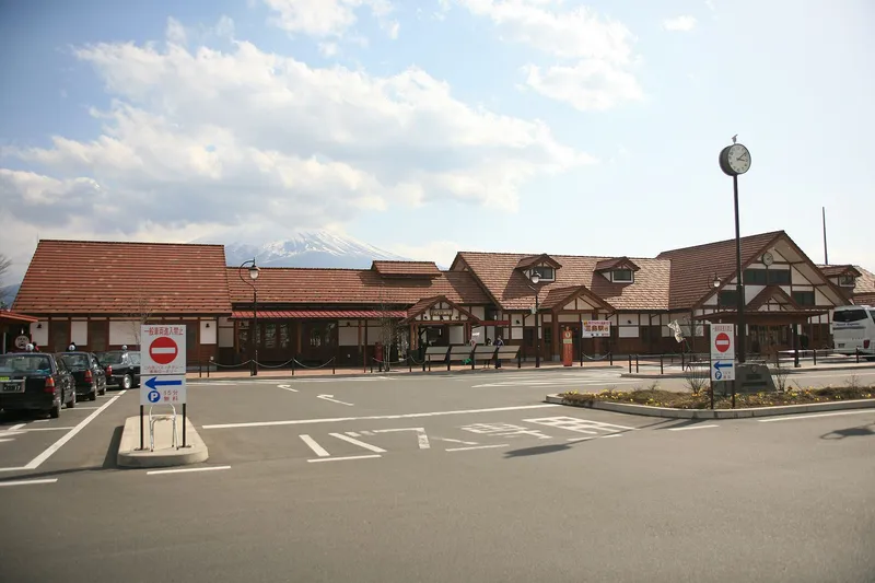
Kawaguchiko Station front with the peak of Mt Fuji behind the roof
Licence: CC BY 3.0 · Original photo
Changes: Resized and converted to WebP.
-
Pink Mt Fuji World Heritage bus passing the Fuji Kanko building
Licence: CC BY-SA 3.0 · Original photo
Changes: Resized and converted to WebP. Our changed version is shared under the same licence.
-
Swan on Lake Kawaguchi with lakeside hotels and Mt Fuji behind
Licence: Pexels License · Original photo
Changes: Resized and converted to WebP.
-
Mt Fuji framed by the red torii at Arakurayama Sengen Park, cherry trees in bloom below
Licence: CC BY-SA 3.0 · Original photo
Changes: Resized and converted to WebP. Our changed version is shared under the same licence.
-
Brick path between flower beds along the Lake Kawaguchi shore at Oishi Park, cherry blossom
Licence: CC BY-SA 4.0 · Original photo
Changes: Resized and converted to WebP. Our changed version is shared under the same licence.
-
Snow-capped Mt Fuji at dusk above Lake Kawaguchi, lights coming on in the lakeside town
Licence: Pexels License · Original photo
Changes: Resized and converted to WebP.
-
Kawaguchiko Station front under a blue sky, Mt Fuji peak at left
Licence: CC BY 3.0 · Original photo
Changes: Resized and converted to WebP.
-
Chureito Pagoda with snow-capped Mt Fuji and Fujiyoshida town behind, cherry trees in bloom
Licence: CC BY-SA 3.0 · Original photo
Changes: Resized and converted to WebP. Our changed version is shared under the same licence.
-
Lakeside hotels below Mt Tenjo with the ropeway cables up the slope, swan boats on Lake Kawaguchi
Licence: CC BY-SA 4.0 · Original photo
Changes: Resized and converted to WebP. Our changed version is shared under the same licence.

Ryokan
Photos from the publisher's own trip, February 2024
-
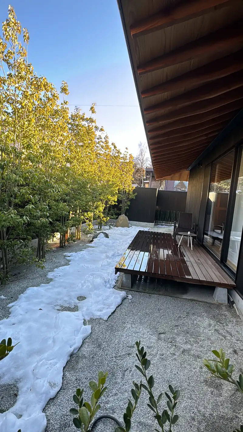
Snowy garden and wooden deck at Kawaguchiko lodging
Photo: Adam Yong / YS Feet, February 2024
Photo by the publisher, all rights reserved.
Changes: Resized, converted to WebP, location and camera data removed.
-
Street corner with a clipped pine tree and an old inn, a mountain behind
Licence: CC BY-SA 2.0 · Original photo
Changes: Resized and converted to WebP. Our changed version is shared under the same licence.
-
Dim entrance to a ryokan restaurant with an ukiyo-e panel and stepping stones
Photo by Stephen Kelly from San Francisco, CA, USA
Licence: CC BY 2.0 · Original photo
Changes: Resized and converted to WebP.
-
Swan on Lake Kawaguchi with lakeside hotels and Mt Fuji behind
Licence: Pexels License · Original photo
Changes: Resized and converted to WebP.
-
Kawaguchiko Station and bus bays on a grey day
Licence: CC BY 3.0 · Original photo
Changes: Resized and converted to WebP.
-
Lakeside hotels below Mt Tenjo with the ropeway cables up the slope, swan boats on Lake Kawaguchi
Licence: CC BY-SA 4.0 · Original photo
Changes: Resized and converted to WebP. Our changed version is shared under the same licence.
-
Mt Fuji glowing pink at dawn, reflected in Lake Kawaguchi
Licence: Pexels License · Original photo
Changes: Resized and converted to WebP.
-
Snow-banked roadside below a wooded hill near Lake Kawaguchi in winter
Licence: CC BY-SA 3.0 · Original photo
Changes: Resized and converted to WebP. Our changed version is shared under the same licence.
-
Town street lined with power lines leading toward snow-capped Mt Fuji
Licence: Pexels License · Original photo
Changes: Resized and converted to WebP.
Glamping
-
Mt Fuji glowing pink at dawn, reflected in Lake Kawaguchi
Licence: Pexels License · Original photo
Changes: Resized and converted to WebP.
-
Snow-capped Mt Fuji over the pine-covered shore of Lake Saiko, deep blue sky
Photo by Amarpreet.singh.in at English Wikipedia
Licence: CC BY-SA 3.0 · Original photo
Changes: Resized and converted to WebP. Our changed version is shared under the same licence.
-
Long icicles hanging inside Narusawa Ice Cave
Licence: CC BY-SA 4.0 · Original photo
Changes: Resized and converted to WebP. Our changed version is shared under the same licence.
-
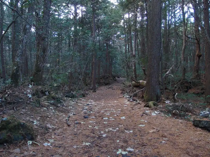
Needle-covered path between tall conifers in Aokigahara forest
Photo by Guilhem Vellut from Annecy, France
Licence: CC BY 2.0 · Original photo
Changes: Resized and converted to WebP.
-
Lakeside hotels below Mt Tenjo with the ropeway cables up the slope, swan boats on Lake Kawaguchi
Licence: CC BY-SA 4.0 · Original photo
Changes: Resized and converted to WebP. Our changed version is shared under the same licence.
-
Swan on Lake Kawaguchi with lakeside hotels and Mt Fuji behind
Licence: Pexels License · Original photo
Changes: Resized and converted to WebP.
-
Town street lined with power lines leading toward snow-capped Mt Fuji
Licence: Pexels License · Original photo
Changes: Resized and converted to WebP.
-
Street corner with a clipped pine tree and an old inn, a mountain behind
Licence: CC BY-SA 2.0 · Original photo
Changes: Resized and converted to WebP. Our changed version is shared under the same licence.

Private onsen
-
Swan on Lake Kawaguchi with lakeside hotels and Mt Fuji behind
Licence: Pexels License · Original photo
Changes: Resized and converted to WebP.
-
Dim entrance to a ryokan restaurant with an ukiyo-e panel and stepping stones
Photo by Stephen Kelly from San Francisco, CA, USA
Licence: CC BY 2.0 · Original photo
Changes: Resized and converted to WebP.
-
Mt Fuji glowing pink at dawn, reflected in Lake Kawaguchi
Licence: Pexels License · Original photo
Changes: Resized and converted to WebP.
-
Snow-banked roadside below a wooded hill near Lake Kawaguchi in winter
Licence: CC BY-SA 3.0 · Original photo
Changes: Resized and converted to WebP. Our changed version is shared under the same licence.
-
Lakeside hotels below Mt Tenjo with the ropeway cables up the slope, swan boats on Lake Kawaguchi
Licence: CC BY-SA 4.0 · Original photo
Changes: Resized and converted to WebP. Our changed version is shared under the same licence.
-
Town street lined with power lines leading toward snow-capped Mt Fuji
Licence: Pexels License · Original photo
Changes: Resized and converted to WebP.
-
Street corner with a clipped pine tree and an old inn, a mountain behind
Licence: CC BY-SA 2.0 · Original photo
Changes: Resized and converted to WebP. Our changed version is shared under the same licence.
-
Snow-capped Mt Fuji over the pine-covered shore of Lake Saiko, deep blue sky
Photo by Amarpreet.singh.in at English Wikipedia
Licence: CC BY-SA 3.0 · Original photo
Changes: Resized and converted to WebP. Our changed version is shared under the same licence.
Hostel
-
Town street lined with power lines leading toward snow-capped Mt Fuji
Licence: Pexels License · Original photo
Changes: Resized and converted to WebP.
-
Wide view of Kawaguchiko Station under a deep blue sky
Licence: CC BY 3.0 · Original photo
Changes: Resized and converted to WebP.
-
Street into Kawaguchiko town past a café and laundry, forested hill behind
Licence: CC BY 4.0 · Original photo
Changes: Resized and converted to WebP.
-
Lakeside hotels below Mt Tenjo with the ropeway cables up the slope, swan boats on Lake Kawaguchi
Licence: CC BY-SA 4.0 · Original photo
Changes: Resized and converted to WebP. Our changed version is shared under the same licence.
-
Street corner with a clipped pine tree and an old inn, a mountain behind
Licence: CC BY-SA 2.0 · Original photo
Changes: Resized and converted to WebP. Our changed version is shared under the same licence.
-
Mt Fuji glowing pink at dawn, reflected in Lake Kawaguchi
Licence: Pexels License · Original photo
Changes: Resized and converted to WebP.
-
Swan on Lake Kawaguchi with lakeside hotels and Mt Fuji behind
Licence: Pexels License · Original photo
Changes: Resized and converted to WebP.
Hoto
-
Hoto with an egg, shiitake and pumpkin in a clay pot
Licence: CC BY 2.0 · Original photo
Changes: Resized and converted to WebP.
-
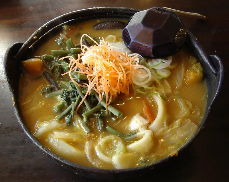
Hoto: thick flat noodles with pumpkin and mountain vegetables in miso broth, in an iron pot
Photo by No machine-readable author provided. Jungle assumed (based on copyright claims).
Licence: CC BY-SA 3.0 · Original photo
Changes: Resized and converted to WebP. Our changed version is shared under the same licence.
-
Front of the Hoto Funari noodle restaurant with its orange noren curtain
Licence: CC BY 2.0 · Original photo
Changes: Resized and converted to WebP.
-
The white dome building of a Hoto Fudo noodle restaurant behind red azaleas
Licence: CC BY 2.0 · Original photo
Changes: Resized and converted to WebP.
-
Snow-capped Mt Fuji over Lake Kawaguchi, orange reeds on the shore
Licence: CC BY 3.0 · Original photo
Changes: Resized and converted to WebP.
-
Wooden front of the Hoto Fudo noodle restaurant at a pedestrian crossing
Licence: CC BY-SA 2.0 · Original photo
Changes: Resized and converted to WebP. Our changed version is shared under the same licence.
-
Snow-capped Mt Fuji above Fujiyoshida town, framed by cherry blossom
Licence: CC BY-SA 3.0 · Original photo
Changes: Resized and converted to WebP. Our changed version is shared under the same licence.
-
Chureito Pagoda beside full cherry blossom, snow-capped Mt Fuji above Fujiyoshida town
Photo by https://www.flickr.com/photos/reggiepen/
Licence: CC BY 2.0 · Original photo
Changes: Resized and converted to WebP.
-
Rowing boats pulled up on the shore of Lake Saiko, snow-capped Mt Fuji behind
Licence: Public domain · Original photo
Changes: Resized and converted to WebP.

Oshino Hakkai
-
Mt Fuji above thatched houses, a water wheel and a pond in autumn colour at Oshino Hakkai
Changes: Resized and converted to WebP.
-
Clear blue spring pond at Oshino Hakkai with trout, thatched house behind
Licence: CC BY 3.0 · Original photo
Changes: Resized and converted to WebP.
-
Snow-capped Mt Fuji above thatched houses and the spring pond at Oshino Hakkai
Licence: CC BY-SA 4.0 · Original photo
Changes: Resized and converted to WebP. Our changed version is shared under the same licence.
-
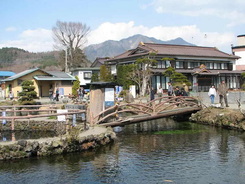
Rustic wooden bridge over a spring-fed pond at Oshino Hakkai, old inn and hills behind
Licence: CC BY-SA 3.0 · Original photo
Changes: Resized and converted to WebP. Our changed version is shared under the same licence.
-
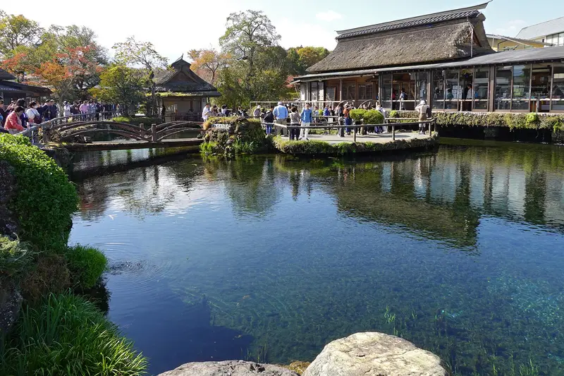
Spring pond at Oshino Hakkai with a wooden bridge and thatched house, autumn trees
Licence: CC BY-SA 4.0 · Original photo
Changes: Resized and converted to WebP. Our changed version is shared under the same licence.
-
Chureito Pagoda with snow-capped Mt Fuji and Fujiyoshida town behind, cherry trees in bloom
Licence: CC BY-SA 3.0 · Original photo
Changes: Resized and converted to WebP. Our changed version is shared under the same licence.
-
Chureito Pagoda among green summer trees, Mt Fuji with a little snow under a clear blue sky
Changes: Resized and converted to WebP.
-
Mt Fuji over Lake Kawaguchi from Oishi Park, orange flowers and pampas grass in front
Licence: CC BY-SA 4.0 · Original photo
Changes: Resized and converted to WebP. Our changed version is shared under the same licence.
-
Mt Fuji at dusk across Lake Kawaguchi, red maple leaves above and boats on the shore
Licence: Pexels License · Original photo
Changes: Resized and converted to WebP.


Chureito Pagoda
-
Chureito Pagoda among green summer trees, Mt Fuji with a little snow under a clear blue sky
Changes: Resized and converted to WebP.
-
Chureito Pagoda with snow-capped Mt Fuji behind
Photo by Olivier Bruchez from Lausanne, Switzerland
Licence: CC BY-SA 2.0 · Original photo
Changes: Resized and converted to WebP. Our changed version is shared under the same licence.
-
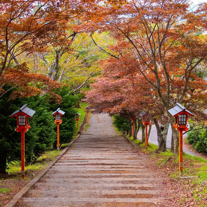
Stone steps under red maples lined with red lanterns, the approach to Arakurayama Sengen Park
Photo by Benh LIEU SONG from Torcy, France
Licence: CC BY-SA 2.0 · Original photo
Changes: Resized and converted to WebP. Our changed version is shared under the same licence.
-
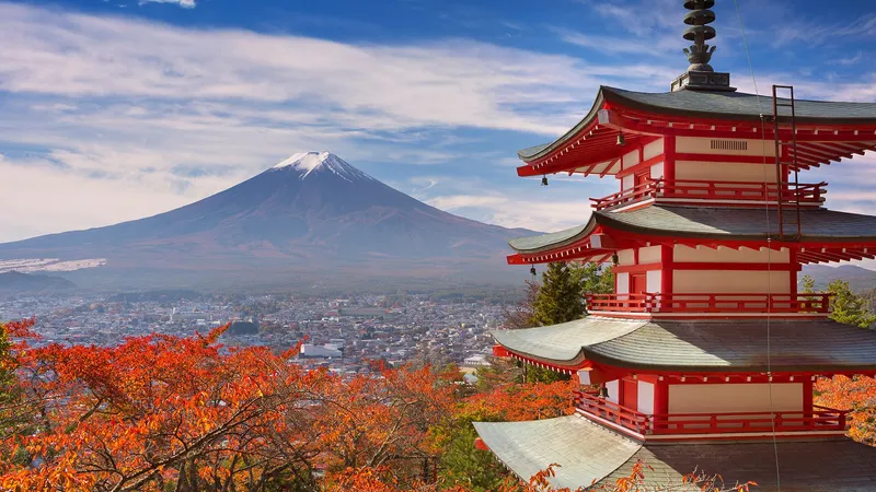
Chureito Pagoda with red autumn leaves, Mt Fuji and Fujiyoshida town behind
Changes: Resized and converted to WebP.
-
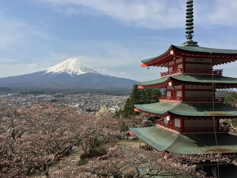
Chureito Pagoda above cherry blossom, Mt Fuji and Fujiyoshida town behind
Photo by https://www.flickr.com/photos/bruchez/
Licence: CC BY-SA 2.0 · Original photo
Changes: Resized and converted to WebP. Our changed version is shared under the same licence.
-
Mt Fuji framed by the big red torii at Arakurayama Sengen Park, red maples below
Licence: CC BY-SA 4.0 · Original photo
Changes: Resized and converted to WebP. Our changed version is shared under the same licence.
-
Chureito Pagoda with snow-capped Mt Fuji and Fujiyoshida town behind, cherry trees in bloom
Licence: CC BY-SA 3.0 · Original photo
Changes: Resized and converted to WebP. Our changed version is shared under the same licence.
-
Mt Fuji over Lake Kawaguchi from Oishi Park, orange flowers and pampas grass in front
Licence: CC BY-SA 4.0 · Original photo
Changes: Resized and converted to WebP. Our changed version is shared under the same licence.
-
Fuji-Q Highland seen from above: food hall, ice rink and roller coaster track
Licence: Public domain · Original photo
Changes: Resized and converted to WebP.
-
Mt Fuji at dusk across Lake Kawaguchi, red maple leaves above and boats on the shore
Licence: Pexels License · Original photo
Changes: Resized and converted to WebP.


Oishi Park
Photos from the publisher's own trip, February 2024
-
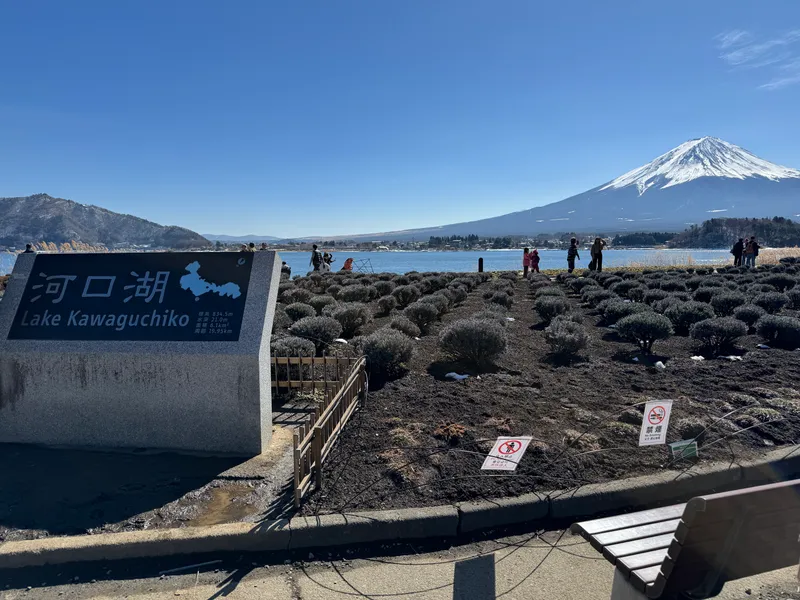
Lake Kawaguchiko sign and Mount Fuji from Oishi Park
Photo: Adam Yong / YS Feet, February 2024
Photo by the publisher, all rights reserved.
Changes: Resized, converted to WebP, location and camera data removed.
-
Mt Fuji over Lake Kawaguchi from Oishi Park, orange flowers and pampas grass in front
Licence: CC BY-SA 4.0 · Original photo
Changes: Resized and converted to WebP. Our changed version is shared under the same licence.
-
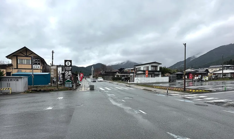
Rainy crossroads in Oishi with signs for the park, mountains in cloud
Licence: CC BY-SA 4.0 · Original photo
Changes: Resized and converted to WebP. Our changed version is shared under the same licence.
-
Brick path between flower beds along the Lake Kawaguchi shore at Oishi Park, cherry blossom
Licence: CC BY-SA 4.0 · Original photo
Changes: Resized and converted to WebP. Our changed version is shared under the same licence.
-
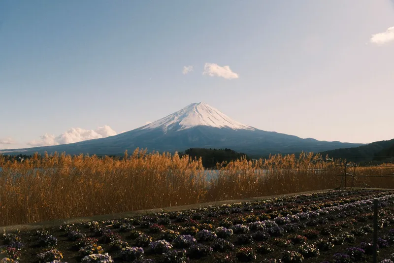
Mt Fuji over golden reeds and a bed of pansies by the lake
Licence: Pexels License · Original photo
Changes: Resized and converted to WebP.
-
Chureito Pagoda with snow-capped Mt Fuji and Fujiyoshida town behind, cherry trees in bloom
Licence: CC BY-SA 3.0 · Original photo
Changes: Resized and converted to WebP. Our changed version is shared under the same licence.
-
Fuji-Q Highland seen from above: food hall, ice rink and roller coaster track
Licence: Public domain · Original photo
Changes: Resized and converted to WebP.
-
Moss-covered roots spreading over lava rock in Aokigahara forest
Photo by Guilhem Vellut from Annecy, France
Licence: CC BY 2.0 · Original photo
Changes: Resized and converted to WebP.
-
Mt Fuji at dusk across Lake Kawaguchi, red maple leaves above and boats on the shore
Licence: Pexels License · Original photo
Changes: Resized and converted to WebP.

Fuji-Q Highland
-
Fuji-Q Highland seen from above: food hall, ice rink and roller coaster track
Licence: Public domain · Original photo
Changes: Resized and converted to WebP.
-
Tall roller coaster tracks against green mountains at Fuji-Q Highland on a cloudy day
Licence: CC BY 3.0 · Original photo
Changes: Resized and converted to WebP.
-
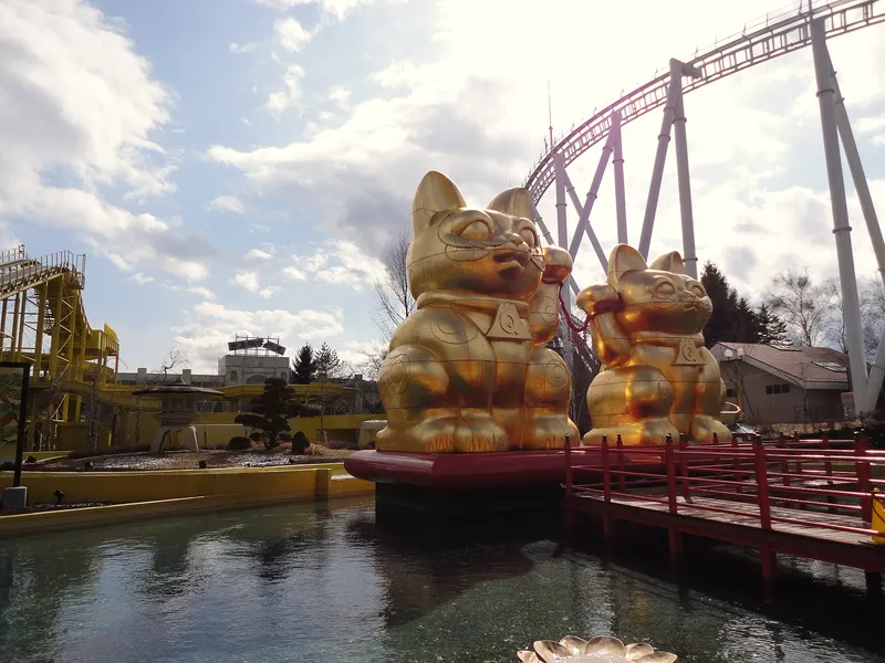
Two giant golden lucky-cat statues on a pond under a roller coaster at Fuji-Q Highland
Licence: CC BY-SA 4.0 · Original photo
Changes: Resized and converted to WebP. Our changed version is shared under the same licence.
-
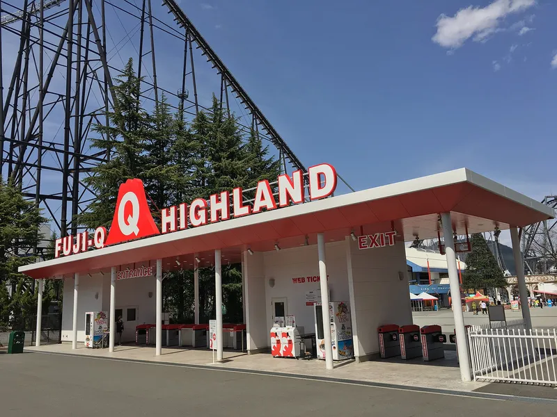
Fuji-Q Highland entrance gate with its sign, roller coaster track behind
Photo by Olivier Bruchez from Lausanne, Switzerland
Licence: CC BY-SA 2.0 · Original photo
Changes: Resized and converted to WebP. Our changed version is shared under the same licence.
-
Chureito Pagoda with snow-capped Mt Fuji behind
Photo by Olivier Bruchez from Lausanne, Switzerland
Licence: CC BY-SA 2.0 · Original photo
Changes: Resized and converted to WebP. Our changed version is shared under the same licence.
-
Chureito Pagoda with snow-capped Mt Fuji and Fujiyoshida town behind, cherry trees in bloom
Licence: CC BY-SA 3.0 · Original photo
Changes: Resized and converted to WebP. Our changed version is shared under the same licence.
-
Moss-covered roots spreading over lava rock in Aokigahara forest
Photo by Guilhem Vellut from Annecy, France
Licence: CC BY 2.0 · Original photo
Changes: Resized and converted to WebP.
-
Red Kachi Kachi Ropeway gondola with rabbit figures, Lake Kawaguchi behind
Licence: CC BY-SA 4.0 · Original photo
Changes: Resized and converted to WebP. Our changed version is shared under the same licence.
-
Chureito Pagoda beside full cherry blossom, snow-capped Mt Fuji above Fujiyoshida town
Photo by https://www.flickr.com/photos/reggiepen/
Licence: CC BY 2.0 · Original photo
Changes: Resized and converted to WebP.


Aokigahara and caves
Photos from the publisher's own trip, February 2024
-
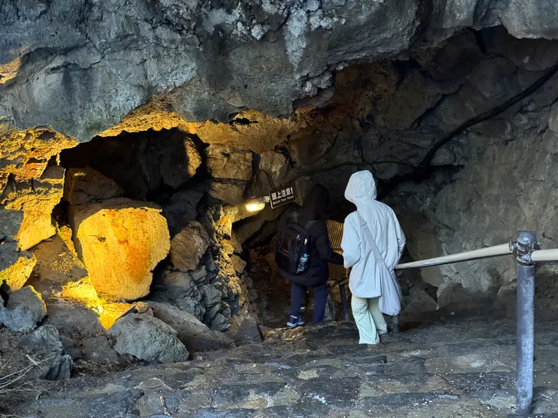
Stone path and railing inside a lava cave in the Aokigahara forest
Photo: Adam Yong / YS Feet, February 2024
Photo by the publisher, all rights reserved.
Changes: Resized, converted to WebP, location and camera data removed.
-
Moss-covered roots spreading over lava rock in Aokigahara forest
Photo by Guilhem Vellut from Annecy, France
Licence: CC BY 2.0 · Original photo
Changes: Resized and converted to WebP.
-
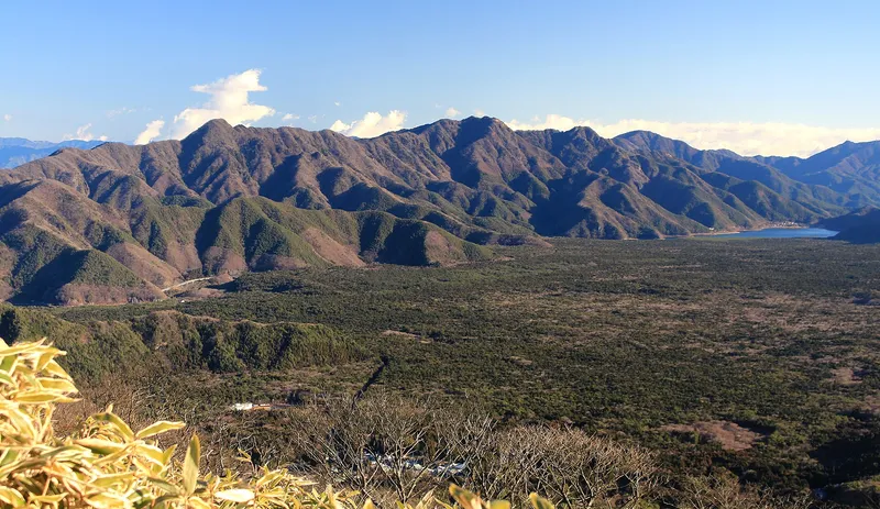
Aokigahara forest below the mountains with Lake Saiko at the far end, seen from above
Licence: CC BY-SA 4.0 · Original photo
Changes: Resized and converted to WebP. Our changed version is shared under the same licence.
-
Haha-no-shirataki waterfall with a red torii and small shrine
Changes: Resized and converted to WebP.
-
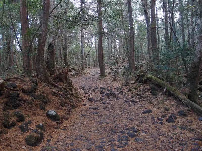
Trail of black lava stones and fallen needles through Aokigahara forest
Photo by Guilhem Vellut from Annecy, France
Licence: CC BY 2.0 · Original photo
Changes: Resized and converted to WebP.
-
Long icicles hanging inside Narusawa Ice Cave
Licence: CC BY-SA 4.0 · Original photo
Changes: Resized and converted to WebP. Our changed version is shared under the same licence.
-
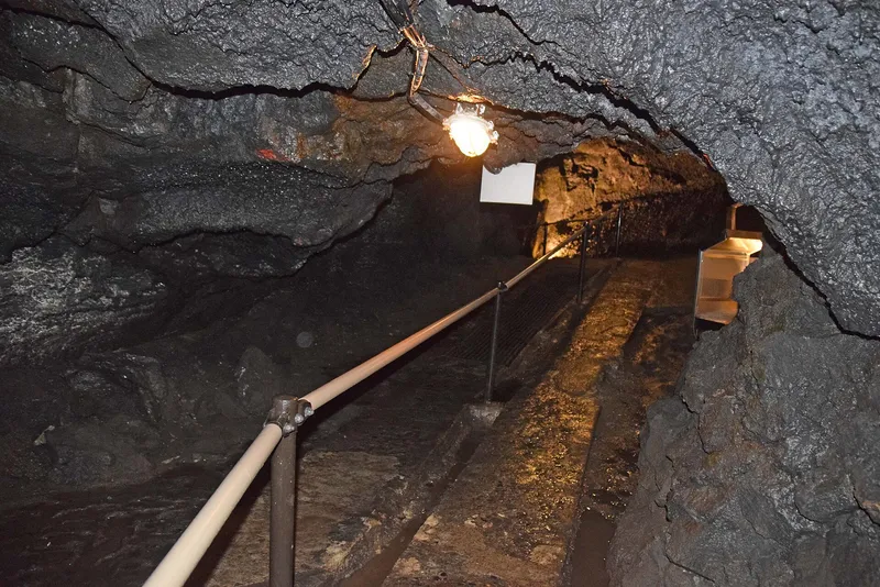
Lit walkway with a handrail through the lava tube of Fugaku Wind Cave
Licence: CC BY-SA 4.0 · Original photo
Changes: Resized and converted to WebP. Our changed version is shared under the same licence.
-
Chureito Pagoda with snow-capped Mt Fuji and Fujiyoshida town behind, cherry trees in bloom
Licence: CC BY-SA 3.0 · Original photo
Changes: Resized and converted to WebP. Our changed version is shared under the same licence.
-
Red Kachi Kachi Ropeway gondola with rabbit figures, Lake Kawaguchi behind
Licence: CC BY-SA 4.0 · Original photo
Changes: Resized and converted to WebP. Our changed version is shared under the same licence.
-
Mt Fuji across Lake Kawaguchi framed by red maple leaves, the lake bridge on the left
Licence: Pexels License · Original photo
Changes: Resized and converted to WebP.
-
Mt Fuji over Lake Kawaguchi from Oishi Park, orange flowers and pampas grass in front
Licence: CC BY-SA 4.0 · Original photo
Changes: Resized and converted to WebP. Our changed version is shared under the same licence.


Panoramic Ropeway
-
Red Kachi Kachi Ropeway gondola with rabbit figures, Lake Kawaguchi behind
Licence: CC BY-SA 4.0 · Original photo
Changes: Resized and converted to WebP. Our changed version is shared under the same licence.
-
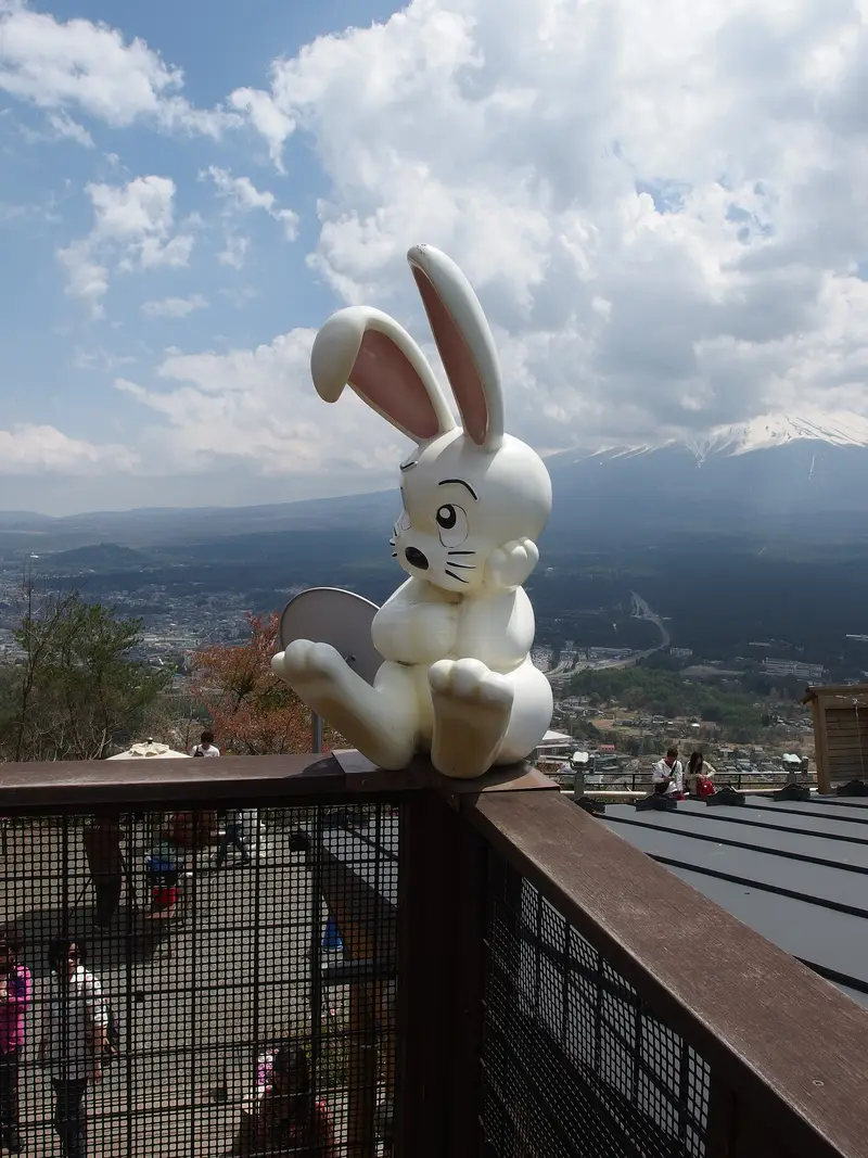
Rabbit statue on the Mt Tenjo summit deck, Mt Fuji behind cloud
Photo by Guilhem Vellut from Annecy, France
Licence: CC BY 2.0 · Original photo
Changes: Resized and converted to WebP.
-
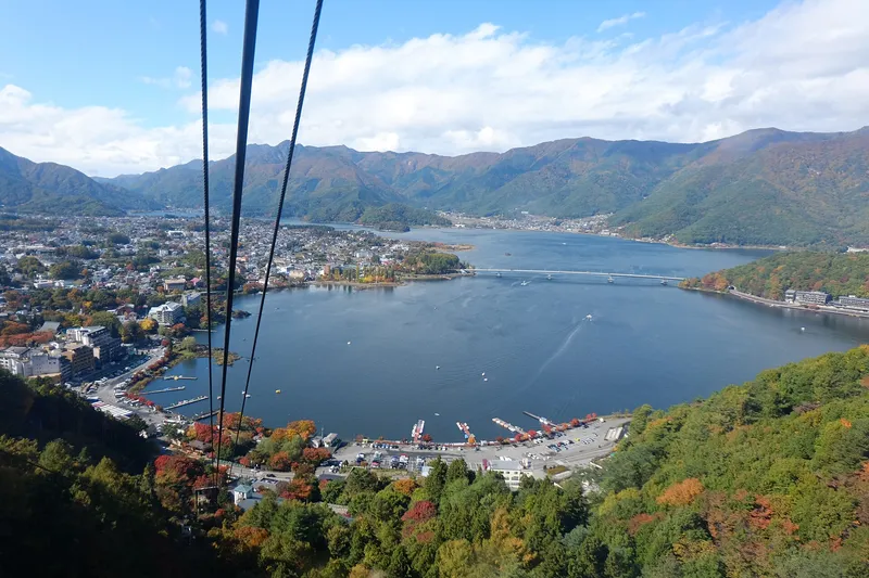
View down the Kachi Kachi Ropeway cables over Lake Kawaguchi in autumn
Licence: CC BY 3.0 · Original photo
Changes: Resized and converted to WebP.
-
Two Kachi Kachi Ropeway gondolas climbing through autumn forest
Licence: CC BY-SA 2.0 · Original photo
Changes: Resized and converted to WebP. Our changed version is shared under the same licence.
-
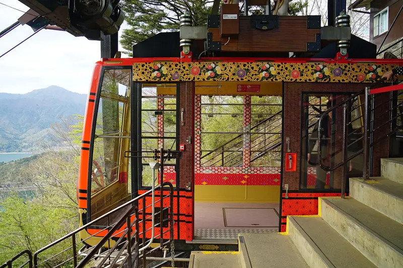
Red ropeway gondola docked at the station, doors open
Licence: CC BY-SA 4.0 · Original photo
Changes: Resized and converted to WebP. Our changed version is shared under the same licence.
-
Chureito Pagoda with snow-capped Mt Fuji and Fujiyoshida town behind, cherry trees in bloom
Licence: CC BY-SA 3.0 · Original photo
Changes: Resized and converted to WebP. Our changed version is shared under the same licence.
-
Mt Fuji across Lake Kawaguchi framed by red maple leaves, the lake bridge on the left
Licence: Pexels License · Original photo
Changes: Resized and converted to WebP.
-
Carved wooden gate of the Itchiku Kubota Art Museum among autumn maples
Licence: CC BY-SA 4.0 · Original photo
Changes: Resized and converted to WebP. Our changed version is shared under the same licence.
-
Mt Fuji at dusk across Lake Kawaguchi, red maple leaves above and boats on the shore
Licence: Pexels License · Original photo
Changes: Resized and converted to WebP.


Maple Corridor
-
Mt Fuji across Lake Kawaguchi framed by red maple leaves, the lake bridge on the left
Licence: Pexels License · Original photo
Changes: Resized and converted to WebP.
-
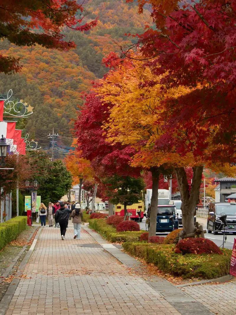
Brick footpath under red and orange maples, autumn hills behind
Changes: Resized and converted to WebP.
-
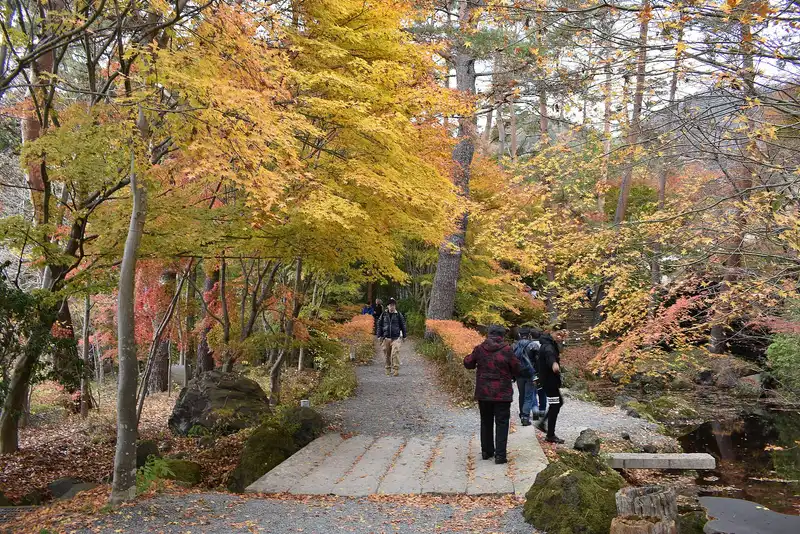
Garden path under yellow and red maples at the Itchiku Kubota Art Museum
Licence: CC BY-SA 4.0 · Original photo
Changes: Resized and converted to WebP. Our changed version is shared under the same licence.
-
Mt Fuji at dusk across Lake Kawaguchi, red maple leaves above and boats on the shore
Licence: Pexels License · Original photo
Changes: Resized and converted to WebP.
-
Quiet road through red pines and orange maples in autumn
Licence: CC BY-SA 2.0 · Original photo
Changes: Resized and converted to WebP. Our changed version is shared under the same licence.
-
Chureito Pagoda with snow-capped Mt Fuji and Fujiyoshida town behind, cherry trees in bloom
Licence: CC BY-SA 3.0 · Original photo
Changes: Resized and converted to WebP. Our changed version is shared under the same licence.
-
Carved wooden gate of the Itchiku Kubota Art Museum among autumn maples
Licence: CC BY-SA 4.0 · Original photo
Changes: Resized and converted to WebP. Our changed version is shared under the same licence.
-
Fuji Subaru Line 5th Station lodges and red torii under a blue sky
Licence: Public domain · Original photo
Changes: Resized and converted to WebP.
-
Mt Fuji above thatched houses, a water wheel and a pond in autumn colour at Oshino Hakkai
Changes: Resized and converted to WebP.


Itchiku Kubota Museum
-
Carved wooden gate of the Itchiku Kubota Art Museum among autumn maples
Licence: CC BY-SA 4.0 · Original photo
Changes: Resized and converted to WebP. Our changed version is shared under the same licence.
-
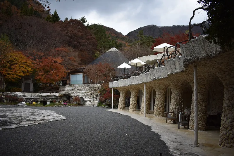
Coral-stone colonnade and pyramid-roof hall of the Itchiku Kubota Art Museum in autumn
Licence: CC BY-SA 4.0 · Original photo
Changes: Resized and converted to WebP. Our changed version is shared under the same licence.
-
Garden path under yellow and red maples at the Itchiku Kubota Art Museum
Licence: CC BY-SA 4.0 · Original photo
Changes: Resized and converted to WebP. Our changed version is shared under the same licence.
-
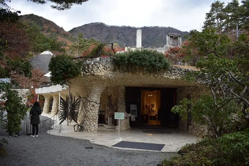
Coral-stone grotto entrance of the Itchiku Kubota Art Museum, autumn hills behind
Licence: CC BY-SA 4.0 · Original photo
Changes: Resized and converted to WebP. Our changed version is shared under the same licence.
-
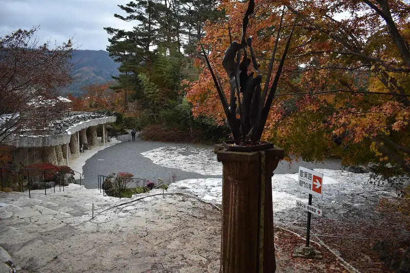
Metal sculpture on a column above the museum courtyard, autumn maples
Licence: CC BY-SA 4.0 · Original photo
Changes: Resized and converted to WebP. Our changed version is shared under the same licence.
-
Chureito Pagoda with snow-capped Mt Fuji and Fujiyoshida town behind, cherry trees in bloom
Licence: CC BY-SA 3.0 · Original photo
Changes: Resized and converted to WebP. Our changed version is shared under the same licence.
-
Fuji Subaru Line 5th Station lodges and red torii under a blue sky
Licence: Public domain · Original photo
Changes: Resized and converted to WebP.
-
Worship hall of Kawaguchi Asama Shrine with stone lanterns on the approach
Licence: CC BY-SA 3.0 · Original photo
Changes: Resized and converted to WebP. Our changed version is shared under the same licence.
-
Mt Fuji over Lake Kawaguchi from Oishi Park, orange flowers and pampas grass in front
Licence: CC BY-SA 4.0 · Original photo
Changes: Resized and converted to WebP. Our changed version is shared under the same licence.


Mt Fuji 5th Station
-
Fuji Subaru Line 5th Station lodges and red torii under a blue sky
Licence: Public domain · Original photo
Changes: Resized and converted to WebP.
-
Lodges and red torii across the lava-stone plaza at the Fuji Subaru Line 5th Station
Licence: Public domain · Original photo
Changes: Resized and converted to WebP.
-
Kawaguchiko Station and bus bays on a grey day
Licence: CC BY 3.0 · Original photo
Changes: Resized and converted to WebP.
-
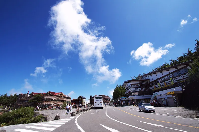
Road and lodges at the Fuji Subaru Line 5th Station, deep blue sky
Licence: CC BY 2.0 · Original photo
Changes: Resized and converted to WebP.
-
Chureito Pagoda with snow-capped Mt Fuji and Fujiyoshida town behind, cherry trees in bloom
Licence: CC BY-SA 3.0 · Original photo
Changes: Resized and converted to WebP. Our changed version is shared under the same licence.
-
Worship hall of Kawaguchi Asama Shrine with stone lanterns on the approach
Licence: CC BY-SA 3.0 · Original photo
Changes: Resized and converted to WebP. Our changed version is shared under the same licence.
-
Pink moss phlox in bloom below Mt Fuji under a deep blue sky
Licence: CC BY-SA 3.0 · Original photo
Changes: Resized and converted to WebP. Our changed version is shared under the same licence.
-
Mt Fuji over Lake Kawaguchi from Oishi Park, orange flowers and pampas grass in front
Licence: CC BY-SA 4.0 · Original photo
Changes: Resized and converted to WebP. Our changed version is shared under the same licence.

Kawaguchi Asama Shrine
-
Worship hall of Kawaguchi Asama Shrine with stone lanterns on the approach
Licence: CC BY-SA 3.0 · Original photo
Changes: Resized and converted to WebP. Our changed version is shared under the same licence.
-
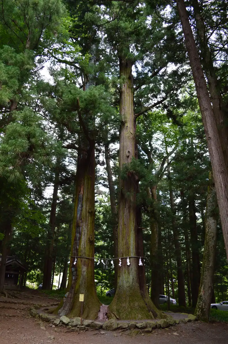
Twin sacred cedars joined by a shimenawa rope at Kawaguchi Asama Shrine
Changes: Resized and converted to WebP.
-
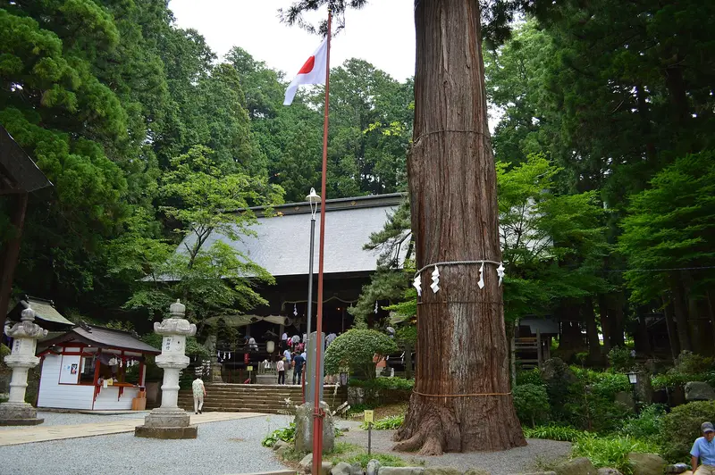
Giant sacred cedar beside the worship hall of Kawaguchi Asama Shrine
Changes: Resized and converted to WebP.
-
Haha-no-shirataki waterfall with a red torii and small shrine
Changes: Resized and converted to WebP.
-
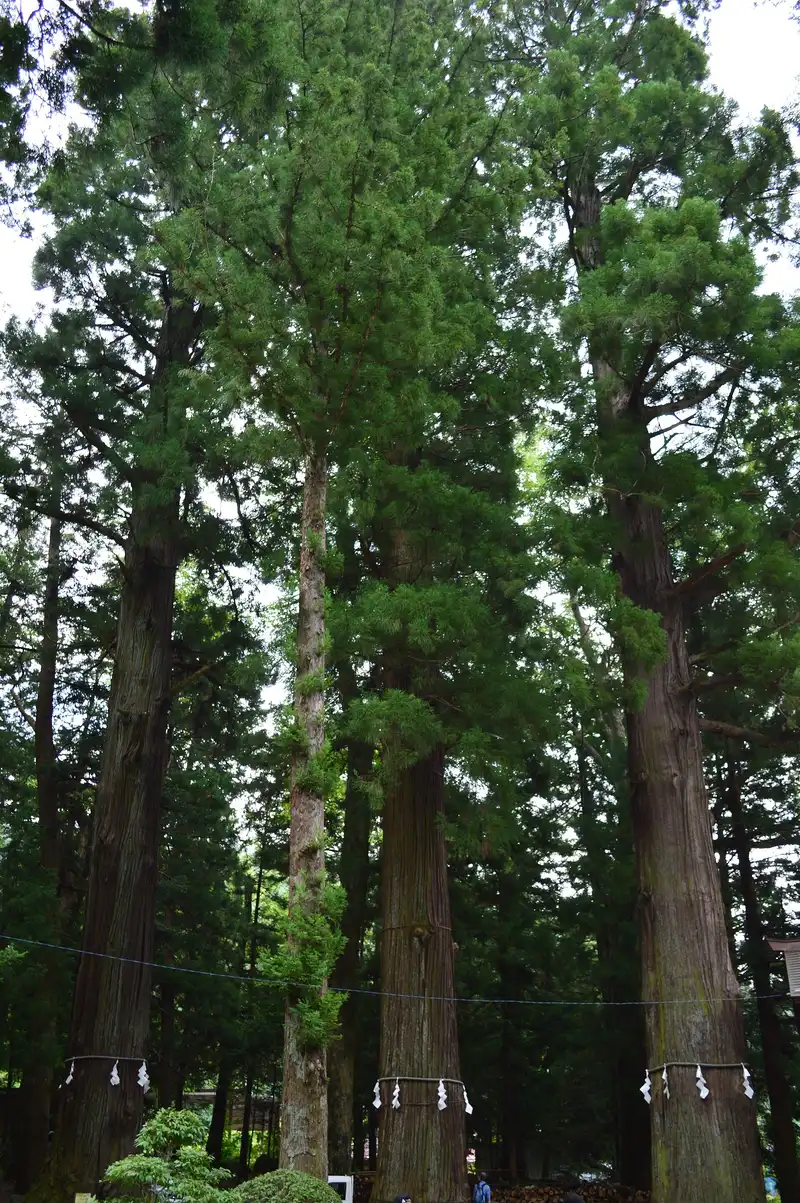
Tall roped cedars in the grounds of Kawaguchi Asama Shrine
Changes: Resized and converted to WebP.
-
Chureito Pagoda with snow-capped Mt Fuji and Fujiyoshida town behind, cherry trees in bloom
Licence: CC BY-SA 3.0 · Original photo
Changes: Resized and converted to WebP. Our changed version is shared under the same licence.
-
Pink moss phlox in bloom below Mt Fuji under a deep blue sky
Licence: CC BY-SA 3.0 · Original photo
Changes: Resized and converted to WebP. Our changed version is shared under the same licence.
-
Wooden jetty with boats on Lake Kawaguchi, lakeside hotels beyond
Licence: CC BY-SA 4.0 · Original photo
Changes: Resized and converted to WebP. Our changed version is shared under the same licence.
-
Carved wooden gate of the Itchiku Kubota Art Museum among autumn maples
Licence: CC BY-SA 4.0 · Original photo
Changes: Resized and converted to WebP. Our changed version is shared under the same licence.


Shibazakura Festival
-
Pink moss phlox in bloom below Mt Fuji under a deep blue sky
Licence: CC BY-SA 3.0 · Original photo
Changes: Resized and converted to WebP. Our changed version is shared under the same licence.
-
Kawaguchiko Station front with a bus stop and local bus
Licence: CC BY-SA 3.0 · Original photo
Changes: Resized and converted to WebP. Our changed version is shared under the same licence.
-
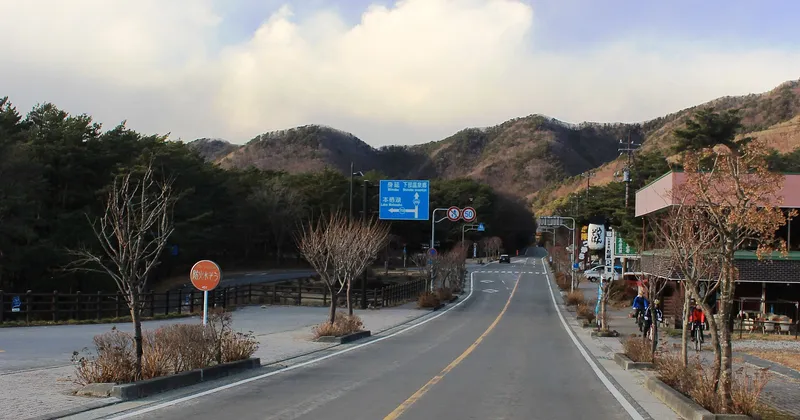
Empty road between bare winter hills, signposted for Lake Motosu
Licence: CC BY-SA 4.0 · Original photo
Changes: Resized and converted to WebP. Our changed version is shared under the same licence.
-
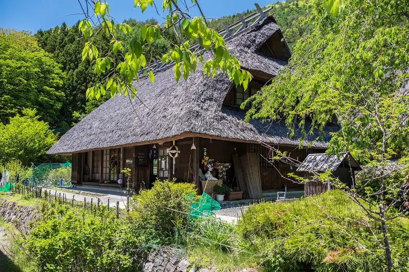
Thatched farmhouse at Iyashi no Sato Nenba in spring, blue sky
Licence: CC BY-SA 4.0 · Original photo
Changes: Resized and converted to WebP. Our changed version is shared under the same licence.
-
Chureito Pagoda with snow-capped Mt Fuji and Fujiyoshida town behind, cherry trees in bloom
Licence: CC BY-SA 3.0 · Original photo
Changes: Resized and converted to WebP. Our changed version is shared under the same licence.
-
Wooden jetty with boats on Lake Kawaguchi, lakeside hotels beyond
Licence: CC BY-SA 4.0 · Original photo
Changes: Resized and converted to WebP. Our changed version is shared under the same licence.
-
Thatched houses and canal path at Iyashi no Sato Nenba with Mt Fuji behind
Licence: CC BY-SA 4.0 · Original photo
Changes: Resized and converted to WebP. Our changed version is shared under the same licence.
-
Mt Fuji over Lake Kawaguchi from Oishi Park, orange flowers and pampas grass in front
Licence: CC BY-SA 4.0 · Original photo
Changes: Resized and converted to WebP. Our changed version is shared under the same licence.


Lake cruise
-
Wooden jetty with boats on Lake Kawaguchi, lakeside hotels beyond
Licence: CC BY-SA 4.0 · Original photo
Changes: Resized and converted to WebP. Our changed version is shared under the same licence.
-
Cream retro-style Fujikyu bus signed Fujikawaguchiko Sight-Seeing Bus
Licence: Public domain · Original photo
Changes: Resized and converted to WebP.
-
Brick path between flower beds along the Lake Kawaguchi shore at Oishi Park, cherry blossom
Licence: CC BY-SA 4.0 · Original photo
Changes: Resized and converted to WebP. Our changed version is shared under the same licence.
-
Lake Kawaguchi and Kawaguchiko Ohashi bridge from Mt Tenjo, swan boats below
Licence: CC BY-SA 4.0 · Original photo
Changes: Resized and converted to WebP. Our changed version is shared under the same licence.
-
Chureito Pagoda with snow-capped Mt Fuji and Fujiyoshida town behind, cherry trees in bloom
Licence: CC BY-SA 3.0 · Original photo
Changes: Resized and converted to WebP. Our changed version is shared under the same licence.
-
Thatched houses and canal path at Iyashi no Sato Nenba with Mt Fuji behind
Licence: CC BY-SA 4.0 · Original photo
Changes: Resized and converted to WebP. Our changed version is shared under the same licence.
-
Pink European-style buildings by a pond with a fountain, Lake Kawaguchi behind
Photo by xiquinhosilva from Cacau
Licence: CC BY 2.0 · Original photo
Changes: Resized and converted to WebP.
-
Mt Fuji over Lake Kawaguchi from Oishi Park, orange flowers and pampas grass in front
Licence: CC BY-SA 4.0 · Original photo
Changes: Resized and converted to WebP. Our changed version is shared under the same licence.
Iyashi no Sato
-
Thatched houses and canal path at Iyashi no Sato Nenba with Mt Fuji behind
Licence: CC BY-SA 4.0 · Original photo
Changes: Resized and converted to WebP. Our changed version is shared under the same licence.
-
Iyashi no Sato Nenba village from above in autumn, Lake Saiko beyond
Licence: CC BY 3.0 · Original photo
Changes: Resized and converted to WebP.
-
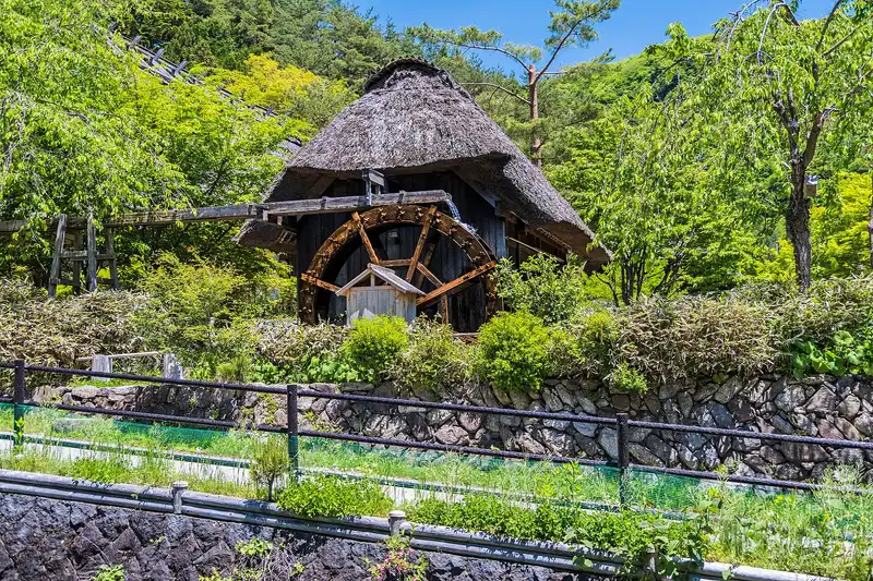
Thatched water-mill hut with a wooden wheel at Iyashi no Sato Nenba
Licence: CC BY-SA 4.0 · Original photo
Changes: Resized and converted to WebP. Our changed version is shared under the same licence.
-
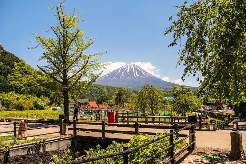
Mt Fuji over the paths and fences of Iyashi no Sato Nenba, a ginkgo tree in front
Licence: CC BY-SA 4.0 · Original photo
Changes: Resized and converted to WebP. Our changed version is shared under the same licence.
-
Chureito Pagoda with snow-capped Mt Fuji and Fujiyoshida town behind, cherry trees in bloom
Licence: CC BY-SA 3.0 · Original photo
Changes: Resized and converted to WebP. Our changed version is shared under the same licence.
-
Pink European-style buildings by a pond with a fountain, Lake Kawaguchi behind
Photo by xiquinhosilva from Cacau
Licence: CC BY 2.0 · Original photo
Changes: Resized and converted to WebP.
-
Mt Fuji above thatched houses, a water wheel and a pond in autumn colour at Oshino Hakkai
Changes: Resized and converted to WebP.
-
Pink moss phlox in bloom below Mt Fuji under a deep blue sky
Licence: CC BY-SA 3.0 · Original photo
Changes: Resized and converted to WebP. Our changed version is shared under the same licence.


Fujiyoshida
Photos from the publisher's own trip, February 2024
-
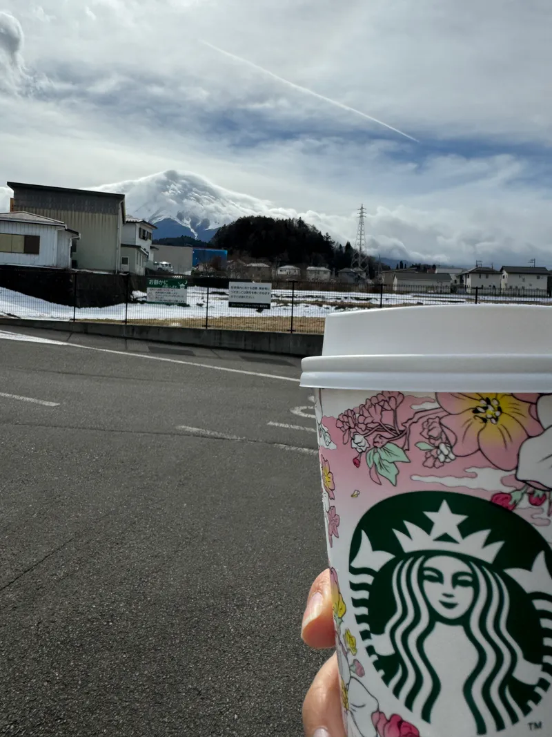
Starbucks cup with Mount Fuji view in Fujiyoshida
Photo: Adam Yong / YS Feet, February 2024
Photo by the publisher, all rights reserved.
Changes: Resized, converted to WebP, location and camera data removed.
-
Chureito Pagoda beside full cherry blossom, snow-capped Mt Fuji above Fujiyoshida town
Photo by https://www.flickr.com/photos/reggiepen/
Licence: CC BY 2.0 · Original photo
Changes: Resized and converted to WebP.
-
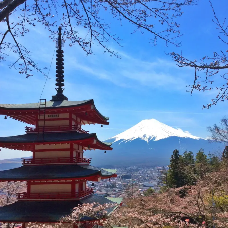
Chureito Pagoda and snow-capped Mt Fuji under a blue sky, framed by cherry branches
Licence: CC BY-SA 3.0 · Original photo
Changes: Resized and converted to WebP. Our changed version is shared under the same licence.
-
Chureito Pagoda with red autumn leaves, Mt Fuji and Fujiyoshida town behind
Changes: Resized and converted to WebP.
-
Town street lined with power lines leading toward snow-capped Mt Fuji
Licence: Pexels License · Original photo
Changes: Resized and converted to WebP.
-
Tall roller coaster tracks against green mountains at Fuji-Q Highland on a cloudy day
Licence: CC BY 3.0 · Original photo
Changes: Resized and converted to WebP.
-
Lake Kawaguchi and its bridge seen from high on Mt Tenjo, ropeway cables and summit station on the right
Licence: CC BY 4.0 · Original photo
Changes: Resized and converted to WebP.
-
Rowing boats pulled up on the shore of Lake Saiko, snow-capped Mt Fuji behind
Licence: Public domain · Original photo
Changes: Resized and converted to WebP.
-
Chureito Pagoda among green summer trees, Mt Fuji with a little snow under a clear blue sky
Changes: Resized and converted to WebP.
-
Fuji-Q Highland seen from above: food hall, ice rink and roller coaster track
Licence: Public domain · Original photo
Changes: Resized and converted to WebP.

Music Forest
Photos from the publisher's own trip, February 2024
-
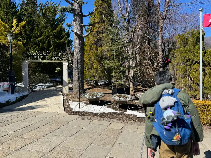
Kawaguchiko Music Forest entrance on a sunny winter day
Photo: Adam Yong / YS Feet, February 2024
Photo by the publisher, all rights reserved.
Changes: Resized, converted to WebP, location and camera data removed.
-
Pink European-style buildings by a pond with a fountain, Lake Kawaguchi behind
Photo by xiquinhosilva from Cacau
Licence: CC BY 2.0 · Original photo
Changes: Resized and converted to WebP.
-
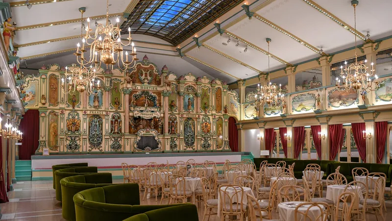
Concert hall with the ornate Mortier dance organ and chandeliers, Kawaguchiko Music Forest Museum
Photo by xiquinhosilva from Cacau
Licence: CC BY 2.0 · Original photo
Changes: Resized and converted to WebP.
-
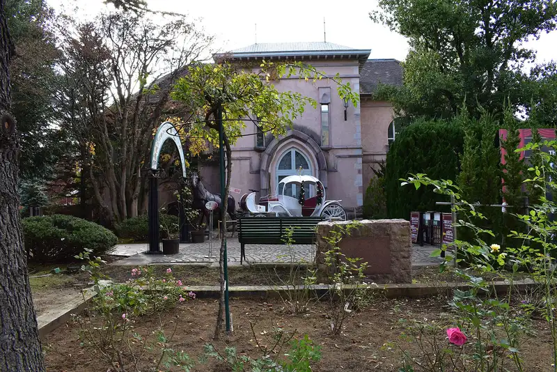
Pink stone building with a white carriage and horse statue, Kawaguchiko Music Forest Museum
Licence: CC BY-SA 4.0 · Original photo
Changes: Resized and converted to WebP. Our changed version is shared under the same licence.
-
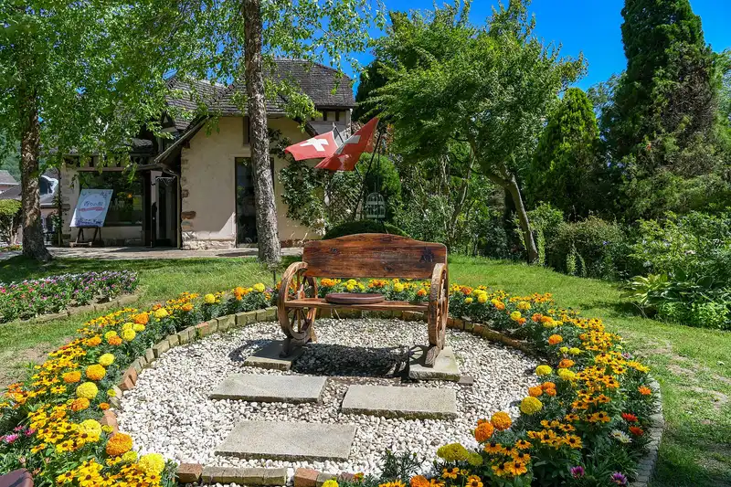
Wagon-wheel bench in a marigold bed in the museum garden
Photo by xiquinhosilva from Cacau
Licence: CC BY 2.0 · Original photo
Changes: Resized and converted to WebP.
-
Chureito Pagoda with snow-capped Mt Fuji and Fujiyoshida town behind, cherry trees in bloom
Licence: CC BY-SA 3.0 · Original photo
Changes: Resized and converted to WebP. Our changed version is shared under the same licence.
-
Mt Fuji above thatched houses, a water wheel and a pond in autumn colour at Oshino Hakkai
Changes: Resized and converted to WebP.
-
Chureito Pagoda among green summer trees, Mt Fuji with a little snow under a clear blue sky
Changes: Resized and converted to WebP.
-
Thatched houses and canal path at Iyashi no Sato Nenba with Mt Fuji behind
Licence: CC BY-SA 4.0 · Original photo
Changes: Resized and converted to WebP. Our changed version is shared under the same licence.


Day trip
-
Mt Fuji at dusk across Lake Kawaguchi, red maple leaves above and boats on the shore
Licence: Pexels License · Original photo
Changes: Resized and converted to WebP.
-
Chureito Pagoda with snow-capped Mt Fuji behind
Photo by Olivier Bruchez from Lausanne, Switzerland
Licence: CC BY-SA 2.0 · Original photo
Changes: Resized and converted to WebP. Our changed version is shared under the same licence.
-
Brick path between flower beds along the Lake Kawaguchi shore at Oishi Park, cherry blossom
Licence: CC BY-SA 4.0 · Original photo
Changes: Resized and converted to WebP. Our changed version is shared under the same licence.
-
Chureito Pagoda above cherry blossom, Mt Fuji and Fujiyoshida town behind
Photo by https://www.flickr.com/photos/bruchez/
Licence: CC BY-SA 2.0 · Original photo
Changes: Resized and converted to WebP. Our changed version is shared under the same licence.
-
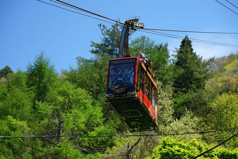
Red Kachi Kachi Ropeway gondola among spring trees
Licence: CC BY-SA 4.0 · Original photo
Changes: Resized and converted to WebP. Our changed version is shared under the same licence.
-
Red maples framing Mt Fuji across Lake Kawaguchi, a rowing boat on the water
Photo by Paulino Acosta Santana
Licence: Pexels License · Original photo
Changes: Resized and converted to WebP.
-
Fujikawaguchiko town spread along Lake Kawaguchi, autumn-coloured hills behind
Photo by Guilhem Vellut from Annecy, France
Licence: CC BY 2.0 · Original photo
Changes: Resized and converted to WebP.
-
Mt Fuji over Lake Kawaguchi from Oishi Park, orange flowers and pampas grass in front
Licence: CC BY-SA 4.0 · Original photo
Changes: Resized and converted to WebP. Our changed version is shared under the same licence.
-
Kawaguchiko Station front under a blue sky, Mt Fuji peak at left
Licence: CC BY 3.0 · Original photo
Changes: Resized and converted to WebP.

2 days, 1 night
-
Fujikawaguchiko town spread along Lake Kawaguchi, autumn-coloured hills behind
Photo by Guilhem Vellut from Annecy, France
Licence: CC BY 2.0 · Original photo
Changes: Resized and converted to WebP.
-
Brick path between flower beds along the Lake Kawaguchi shore at Oishi Park, cherry blossom
Licence: CC BY-SA 4.0 · Original photo
Changes: Resized and converted to WebP. Our changed version is shared under the same licence.
-
Chureito Pagoda with snow-capped Mt Fuji behind
Photo by Olivier Bruchez from Lausanne, Switzerland
Licence: CC BY-SA 2.0 · Original photo
Changes: Resized and converted to WebP. Our changed version is shared under the same licence.
-
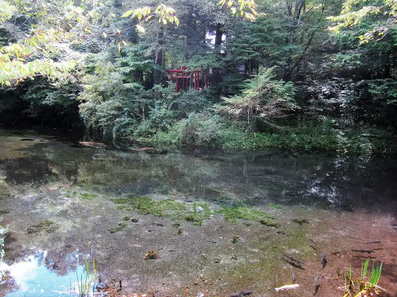
Deguchi Pond at Oshino Hakkai: clear spring water and trout under green woods, small red torii behind
Licence: CC BY-SA 4.0 · Original photo
Changes: Resized and converted to WebP. Our changed version is shared under the same licence.
-
Red maples framing Mt Fuji across Lake Kawaguchi, a rowing boat on the water
Photo by Paulino Acosta Santana
Licence: Pexels License · Original photo
Changes: Resized and converted to WebP.
-
Mt Fuji at dusk across Lake Kawaguchi, red maple leaves above and boats on the shore
Licence: Pexels License · Original photo
Changes: Resized and converted to WebP.
-
Kawaguchiko Station front under a blue sky, Mt Fuji peak at left
Licence: CC BY 3.0 · Original photo
Changes: Resized and converted to WebP.
-
Mt Fuji above thatched houses, a water wheel and a pond in autumn colour at Oshino Hakkai
Changes: Resized and converted to WebP.

Lake Saiko
Photos from the publisher's own trip, February 2024
-
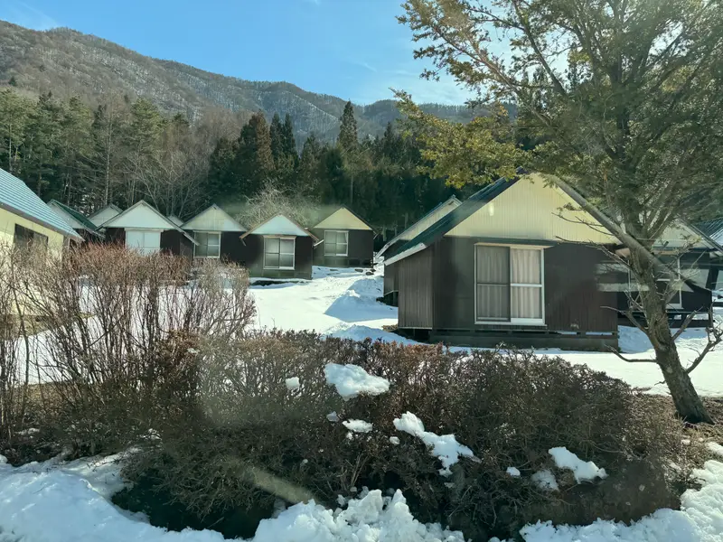
Wooden cabins in the snow near Lake Saiko
Photo: Adam Yong / YS Feet, February 2024
Photo by the publisher, all rights reserved.
Changes: Resized, converted to WebP, location and camera data removed.
-
Rowing boats pulled up on the shore of Lake Saiko, snow-capped Mt Fuji behind
Licence: Public domain · Original photo
Changes: Resized and converted to WebP.
-
Snow-capped Mt Fuji over the pine-covered shore of Lake Saiko, deep blue sky
Photo by Amarpreet.singh.in at English Wikipedia
Licence: CC BY-SA 3.0 · Original photo
Changes: Resized and converted to WebP. Our changed version is shared under the same licence.
-
Lit walkway with a handrail through the lava tube of Fugaku Wind Cave
Licence: CC BY-SA 4.0 · Original photo
Changes: Resized and converted to WebP. Our changed version is shared under the same licence.
-
Iyashi no Sato Nenba village from above in autumn, Lake Saiko beyond
Licence: CC BY 3.0 · Original photo
Changes: Resized and converted to WebP.
-
Lake Kawaguchi and its bridge seen from high on Mt Tenjo, ropeway cables and summit station on the right
Licence: CC BY 4.0 · Original photo
Changes: Resized and converted to WebP.
-
Chureito Pagoda beside full cherry blossom, snow-capped Mt Fuji above Fujiyoshida town
Photo by https://www.flickr.com/photos/reggiepen/
Licence: CC BY 2.0 · Original photo
Changes: Resized and converted to WebP.
-
Lakeside hotels below Mt Tenjo with the ropeway cables up the slope, swan boats on Lake Kawaguchi
Licence: CC BY-SA 4.0 · Original photo
Changes: Resized and converted to WebP. Our changed version is shared under the same licence.
-
Street corner with a clipped pine tree and an old inn, a mountain behind
Licence: CC BY-SA 2.0 · Original photo
Changes: Resized and converted to WebP. Our changed version is shared under the same licence.
Yoshida udon
-
Snow-capped Mt Fuji above Fujiyoshida town, framed by cherry blossom
Licence: CC BY-SA 3.0 · Original photo
Changes: Resized and converted to WebP. Our changed version is shared under the same licence.
-
Snow-covered Mt Fuji above Fujiyoshida town, the top of Chureito Pagoda in front
Photo by Vitor Coelho Nisida from São Paulo, Brasil
Licence: Public domain · Original photo
Changes: Resized and converted to WebP.
-
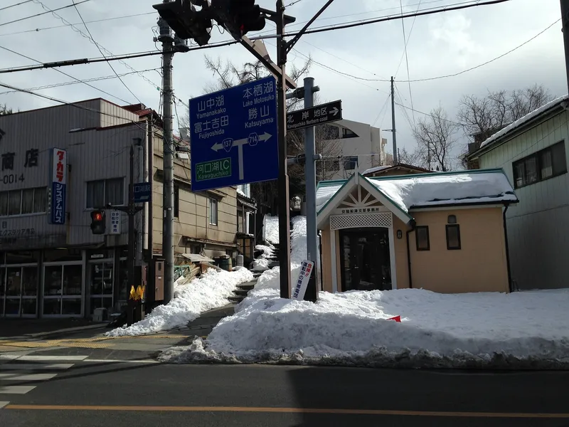
Snowy street corner with road signs to Yamanakako, Fujiyoshida and Lake Motosu
Licence: CC BY-SA 3.0 · Original photo
Changes: Resized and converted to WebP. Our changed version is shared under the same licence.
-
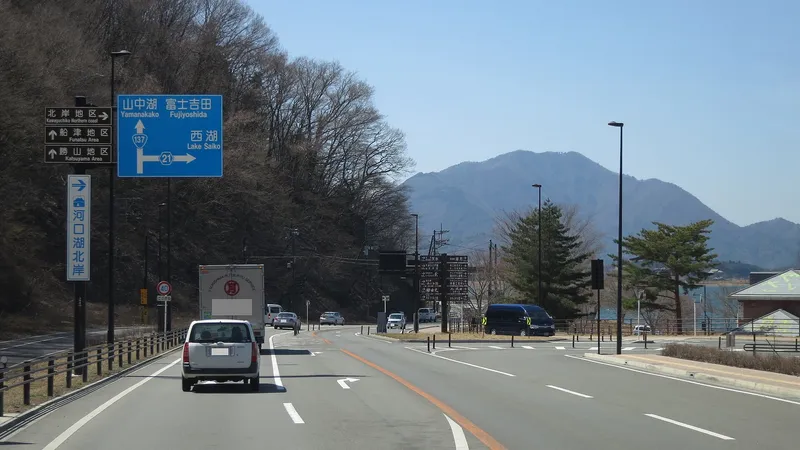
Main road with signs for Lake Saiko and Fujiyoshida, a mountain ahead
Licence: CC BY-SA 4.0 · Original photo
Changes: Resized and converted to WebP. Our changed version is shared under the same licence.
-
Front of the Hoto Funari noodle restaurant with its orange noren curtain
Licence: CC BY 2.0 · Original photo
Changes: Resized and converted to WebP.
-
Hoto with an egg, shiitake and pumpkin in a clay pot
Licence: CC BY 2.0 · Original photo
Changes: Resized and converted to WebP.
-
Chureito Pagoda beside full cherry blossom, snow-capped Mt Fuji above Fujiyoshida town
Photo by https://www.flickr.com/photos/reggiepen/
Licence: CC BY 2.0 · Original photo
Changes: Resized and converted to WebP.
-
Rowing boats pulled up on the shore of Lake Saiko, snow-capped Mt Fuji behind
Licence: Public domain · Original photo
Changes: Resized and converted to WebP.


Illustrations made with AI
Some backgrounds, textures and map decorations on this site are made with AI, and so are the illustrated posters. The decorations never stand for how a place looks. Each poster is a picture of a plan, drawn by AI from this guide's own checked data (names, order, drive times) and checked against that data before it went up. The maps drawn to scale on each page are the accurate ones. Every AI image is listed here.
Illustration made with AI: Pale washi paper with faint lake-shore contour lines.
AI image: Snow-capped Mt Fuji at dawn above a calm lake, soft pink sky, mist on the water.
Illustration made with AI: Red and orange maple leaves over a quiet lakeside path in autumn.
Illustration made with AI: A five-storey red pagoda on a wooded hillside.
Illustration made with AI: A clear spring-fed pond with green water weed and a small wooden bridge.
Illustration made with AI: A row of purple lavender in bloom.
Illustration made with AI: A tall roller coaster loop.
Illustration made with AI: A small red ropeway cabin on a cable over trees.
Illustration made with AI: A cluster of red maple leaves.
Illustration made with AI: An antique wooden music box with a brass cylinder.
Illustration made with AI: A folded silk textile dyed with a mountain landscape.
Illustration made with AI: A red shrine gate among tall cedar trees.
Illustration made with AI: A small white sightseeing boat on blue water.
Illustration made with AI: An iron pot of thick flat noodles with pumpkin and vegetables in miso broth.
Illustration made with AI: A carpet of pink moss phlox flowers.
Illustration made with AI: Pale pink cherry blossom branches against a blue spring sky with a distant snowy volcano.